Indonesia · Stratovulcano
Mountain Patuha
Patuha
- Tipo
- Stratovulcano
- Altitudine
- 2422 m
- Ultima eruzione
- Sconosciuto
- Tipo
- Stratovulcano
- Paese
- Indonesia
- Regione
- Sunda e Banda / Sunda Volcanic Arc
- Altitudine
- 2422 m
- Coordinate
- -7.162, 107.400
- Ultima eruzione
- Sconosciuto
- Contesto tettonico
- Zona di subduzione / Crosta continentale (> 25 km)
- Forma vulcanica
- Composito
- Roccia principale
- Andesite / Andesite basaltica
Sintesi geologica
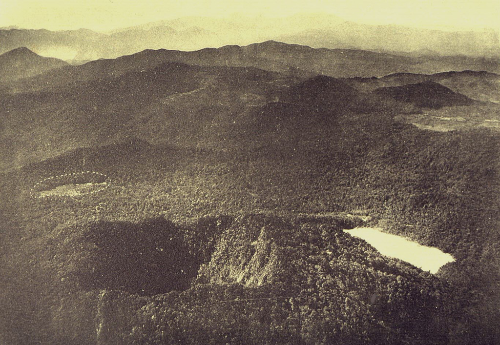
The forested andesitic Gunung Patuha rises SW of the plain of Bandung in western Java. Patuha is the northern peak of a roughly 5-km-long N-S volcanic massif, and has a 300 m crater at the summit. A few hundred meters down the SE flank is a 400 x 500 m crater almost completely filled with a shallow greenish lake, Kawah Putih. Sulfur deposits are present around the shoreline and near active fumaroles on the crater walls. A large debris-avalanche deposit extends down the NE flank. The volcano was formed during the late Pleistocene, but no Holocene eruptions are known.
Sintesi da Wikipedia
Riassunto in ingleseMount Patuha is a twin stratovolcano about 50 km to the southwest of Bandung in West Java, Indonesia. It is located in the Bandung District of West Java. It is one of numerous volcanoes in this area; others in the region include Mount Malabar, Mount Wayang, and Mount Papandayan.
Wikipedia · CC BY-SA · Leggi l'articolo completo →
Storia delle eruzioni
GlossarioCronologia dettagliata
Nessuna registrazione di eruzioni disponibile.
Vulcani nelle vicinanze
Link esterni
⚠ Solo a scopo informativo. Non adatto a situazioni di emergenza.