Filippine · Stratovulcano
Monte Camiguin de Babuyanes
Camiguin de Babuyanes
- Tipo
- Stratovulcano
- Altitudine
- 712 m
- Ultima eruzione
- 1857
- Tipo
- Stratovulcano
- Paese
- Filippine
- Regione
- Pacifico occidentale / Luzon Volcanic Arc
- Altitudine
- 712 m
- Coordinate
- 18.830, 121.860
- Ultima eruzione
- 1857
- Contesto tettonico
- Zona di subduzione / Spessore crostale sconosciuto
- Forma vulcanica
- Composito
- Roccia principale
- Andesite / Andesite basaltica
Sintesi geologica
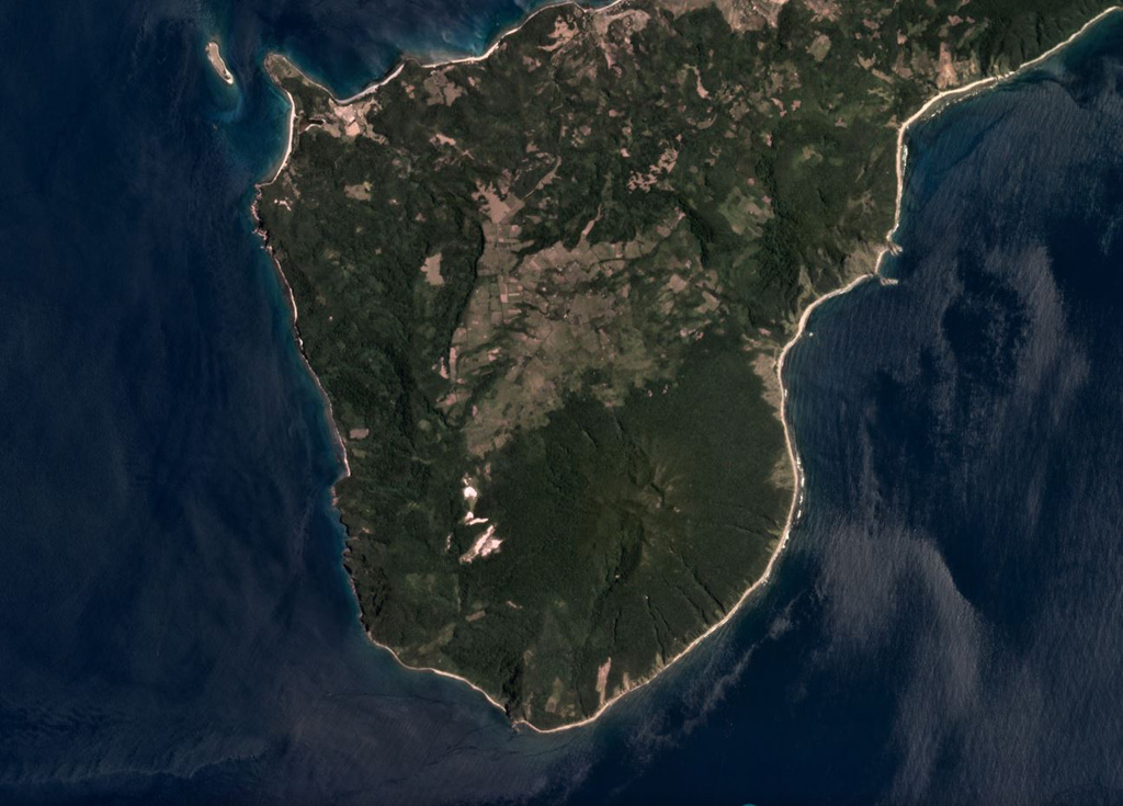
Forested Mount Camiguin occupies the SW tip of 22-km-long Camiguin Island in the Babuyan archipelago, north of Luzon Island. Following construction of an andesitic volcano during the Pliocene, the subsidiary cones of Minabul to the north and Caanoan to the east were constructed on the northern part of the island. The southern part of the island consists of three volcanic centers located along a SSE-NNW line, the andesitic Mount Camiguin stratovolcano and the young andesitic lava domes of Mt. Malabsing and Pamoctan. A phreatic eruption, possibly in part submarine, was reported from Camiguin de Babuyanes around 1857. Fumaroles are found on the SW, W, and E flanks of the volcano, and a boiling spring is located near sea level on the W flank.
Storia delle eruzioni
1 registrateGlossarioCronologia dettagliata
- 1857VEI 2Osservata1857-07-02 – fine sconosciutaSW flank
Vulcani nelle vicinanze
Link esterni
⚠ Solo a scopo informativo. Non adatto a situazioni di emergenza.