Giappone (amministrato da Russia) · Stratovulcano
Tebenkova
Odamoisan [Tebenkov]
- Tipo
- Stratovulcano
- Altitudine
- 1208 m
- Ultima eruzione
- Sconosciuto
- Tipo
- Stratovulcano
- Paese
- Giappone (amministrato da Russia)
- Regione
- Pacifico nord-occidentale / Kuril Volcanic Arc
- Altitudine
- 1208 m
- Coordinate
- 45.029, 147.917
- Ultima eruzione
- Sconosciuto
- Contesto tettonico
- Zona di subduzione / Crosta intermedia (15-25 km)
- Forma vulcanica
- Composito
Sintesi geologica
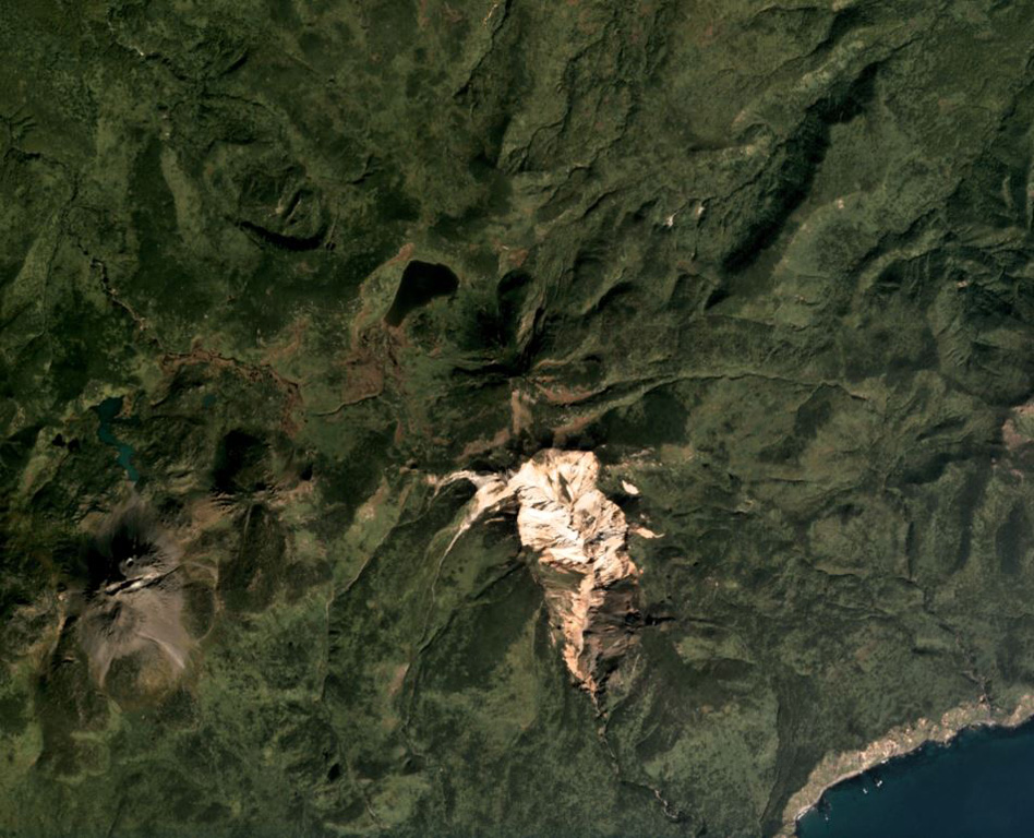
Odamoisan (also known as Tebenkov), lies in the center of Iturup Island along the E coast. This forested andesitic volcano is ~4 km NE of the Etorofu-Yakeyama (Ivan Grozny) dome complex. A large eroded valley on the S side, named the Machekh crater, displays strong fumarolic activity and heavily altered surface deposts. There have been no observed eruptions.
Storia delle eruzioni
GlossarioCronologia dettagliata
Nessuna registrazione di eruzioni disponibile.
Vulcani nelle vicinanze
Link esterni
- Non ancora su Wikipedia (Italiano). Puoi contribuire su Wikidata.
- Pagina originale Smithsonian GVP
⚠ Solo a scopo informativo. Non adatto a situazioni di emergenza.