Russia · Stratovulcano
Košelev
Koshelev
- Tipo
- Stratovulcano
- Altitudine
- 1822 m
- Ultima eruzione
- 1690
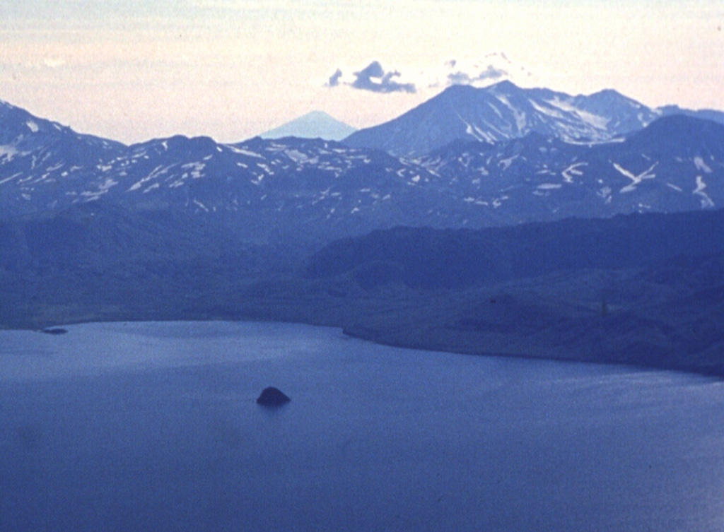
- Tipo
- Stratovulcano
- Paese
- Russia
- Regione
- Pacifico nord-occidentale / Kuril Volcanic Arc
- Altitudine
- 1822 m
- Coordinate
- 51.356, 156.753
- Ultima eruzione
- 1690
- Contesto tettonico
- Zona di subduzione / Crosta continentale (> 25 km)
- Forma vulcanica
- Composito
- Roccia principale
- Basalto / Picrobasalto
Sintesi geologica
Koshelev is at the southern end of the Kamchatka Peninsula, SW of the Pauzhetka volcano-tectonic depression and NW of Kambalny volcano. It is a complex group of four stratovolcanoes constructed along an E-W line over a Pleistocene shield volcano. Central Koshelev stratovolcano, the highest peak of the volcanic massif, is Holocene in age; N- and SE-flank craters have also been active during the Holocene. Gorely, a Holocene cinder cone related to regional basaltic monogenetic volcanism, is located about 12 km NW. The largest Holocene eruption took place from the eastern cone about 6,500 years ago. An explosive eruption was reported at the end of the 17th century. Major thermal fields are located in the summit crater of Valentin volcano and on the western flanks of west Koshelev volcano.
Storia delle eruzioni
5 registrateGlossarioCronologia dettagliata
- 1741VEI ?Metodo non indicato1741 – fine sconosciuta
- 1690 (±10 anni)VEI 3Osservata1690 – fine sconosciutaSE flank
- 1350 a.C.VEI ?Stima geologica1350 a.C. – fine sconosciutaNorthern flank
- 4050 a.C.VEI ?Stima geologica4050 a.C. – fine sconosciutaNW flank (Gorely)
- 4550 a.C.VEI ?Stima geologica4550 a.C. – fine sconosciutaEastern cone
Vulcani nelle vicinanze
Link esterni
⚠ Solo a scopo informativo. Non adatto a situazioni di emergenza.