Russia · Cono piroclastico
Zavarickij
Zavaritsky
- Tipo
- Cono piroclastico
- Altitudine
- 1547 m
- Ultima eruzione
- -800
- Tipo
- Cono piroclastico
- Paese
- Russia
- Regione
- Pacifico nord-occidentale / Eastern Kamchatka Volcanic Arc
- Altitudine
- 1547 m
- Coordinate
- 53.907, 158.385
- Ultima eruzione
- -800
- Contesto tettonico
- Zona di subduzione / Crosta continentale (> 25 km)
- Forma vulcanica
- Composito
- Roccia principale
- Basalto / Picrobasalto
Sintesi geologica
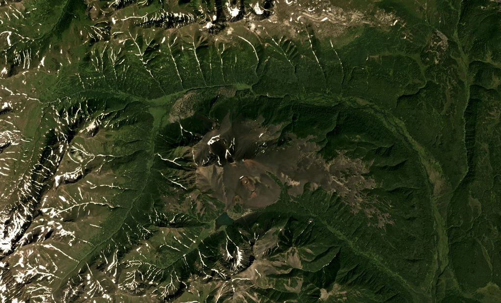
Zavaritsky volcano consists of a complex of six cinder cones trending NW-SE, and an explosion crater located near the headwaters of the Levaya Avacha River west of the main Eastern Kamchatka volcanic arc. The six cones were formed during an eruption about 2,800 years ago, during which associated lava flows blocked the Levaya Avacha and Ozernaya rivers, forming Lake Vulkanischeskoe along the Ozernaya drainage. The highest cone, Mount Peschanaya, lies near the southern end of the cone group. Other monogenetic cinder cones are located NW and NE of the volcano. The Berezovy cinder cone to the NW erupted ~11,000-10,000 radiocarbon years ago. An unnamed cone near the crest of a range dividing the Srednaya Avacha and Kavicha river drainages, about 14 km WNW, erupted about 3,000-2,500 years ago; it is slightly closer to Bakening volcano, but the chemistry of its products are related to those of Zavaritsky.
Sintesi da Wikipedia
Il Zavarickij è un vulcano della penisola della Kamčatka, in Russia. Non va confuso con il vulcano o caldera Zavarickij situato sull'isola di Simušir.
Wikipedia · CC BY-SA · Leggi l'articolo completo →
Storia delle eruzioni
2 registrateGlossarioCronologia dettagliata
- 800 a.C. (±500 anni)VEI 2Stima geologica800 a.C. – fine sconosciuta14 km WNW of Zavaritsky
- 850 a.C.VEI 4Stima geologica850 a.C. – fine sconosciutaMt. Peschanaya and adjacent cones
Vulcani nelle vicinanze
Link esterni
⚠ Solo a scopo informativo. Non adatto a situazioni di emergenza.