Russia · Cono piroclastico
Cherpuk Group
- Tipo
- Cono piroclastico
- Altitudine
- 1868 m
- Ultima eruzione
- -4550
- Tipo
- Cono piroclastico
- Paese
- Russia
- Regione
- Pacifico nord-occidentale / Central Kamchatka Volcanic Arc
- Altitudine
- 1868 m
- Coordinate
- 55.550, 157.470
- Ultima eruzione
- -4550
- Contesto tettonico
- Zona di subduzione / Crosta continentale (> 25 km)
- Forma vulcanica
- Minore
- Roccia principale
- Andesite / Andesite basaltica
Sintesi geologica
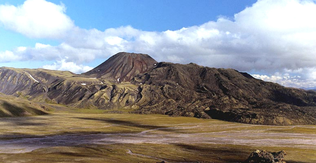
Severny Cherpuk (South Cherpuk) and Yuzhny Cherpuk (North Cherpuk) are two cinder cones SW of Ichinsky volcano that comprise the largest monogenetic volcanoes of the Sredinny Range. Severny Cherpuk, 21 km SW of Ichinsky, is a double cone that fed 1.8 km3 lava flows down both sides of the range to the NW and SE. A narrow tongue of the SE flow diverted an additional 10 km S, for a total distance of 22 km. Yuzhny Cherpuk, 11 km SSW of Ichinsky, produced a 1.7 km3 lava flow that traveled 18 km S and then SE. The flow descended to 640 m elevation and dammed tributaries of the Ketachan River, producing three lakes. The two cones are sometimes considered to be satellitic cones to Ichinsky, but Pevzner et al. (2000) noted petrological distinctions that suggest an independent origin. Unpublished radiocarbon ages revise those in Pevzner et al. (2000) and indicate that both cones were formed about 6,500 years ago.
Sintesi da Wikipedia
Riassunto in ingleseCherpuk Group is a group of two cinder cones located in the central part of Kamchatka Peninsula, Russia. It is a group of a few mostly dormant cinder cones.
Wikipedia · CC BY-SA · Leggi l'articolo completo →
Storia delle eruzioni
1 registrateGlossarioCronologia dettagliata
- 4550 a.C.VEI ?Stima geologica4550 a.C. – fine sconosciutaNorth and South Cherpuk
Vulcani nelle vicinanze
Link esterni
⚠ Solo a scopo informativo. Non adatto a situazioni di emergenza.