Cina · Campo vulcanico
Honggeertu volcanic field
Honggeertu
- Tipo
- Campo vulcanico
- Altitudine
- 1605 m
- Ultima eruzione
- Sconosciuto
- Tipo
- Campo vulcanico
- Paese
- Cina
- Regione
- Asia orientale / Central East Asia Volcanic Province
- Altitudine
- 1605 m
- Coordinate
- 41.590, 113.111
- Ultima eruzione
- Sconosciuto
- Contesto tettonico
- Intraplacca / Crosta continentale (> 25 km)
- Forma vulcanica
- Gruppo vulcanico
- Roccia principale
- Basalto / Picrobasalto
Sintesi geologica
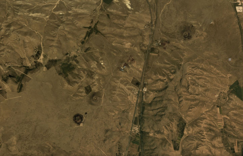
The Honggeertu volcanic field is located in Nei Mongol Province, NW of Beijing. The basaltic volcanic field consists of a group of six cinder cones extending along an arc for about 10 km that were considered to be of Holocene age by IAVCEI (1973). Liu (1998, p.c.), however, considered the existence of Holocene volcanism at this location to be uncertain.
Storia delle eruzioni
GlossarioCronologia dettagliata
Nessuna registrazione di eruzioni disponibile.
Vulcani nelle vicinanze
Link esterni
⚠ Solo a scopo informativo. Non adatto a situazioni di emergenza.