Cina · Campo vulcanico
Keluo
Keluo Group
- Tipo
- Campo vulcanico
- Altitudine
- 670 m
- Ultima eruzione
- Sconosciuto
- Tipo
- Campo vulcanico
- Paese
- Cina
- Regione
- Asia orientale / Central East Asia Volcanic Province
- Altitudine
- 670 m
- Coordinate
- 49.370, 125.920
- Ultima eruzione
- Sconosciuto
- Contesto tettonico
- Intraplacca / Crosta continentale (> 25 km)
- Forma vulcanica
- Gruppo vulcanico
- Roccia principale
- Trachibasalto / Tefrite basanite
Sintesi geologica
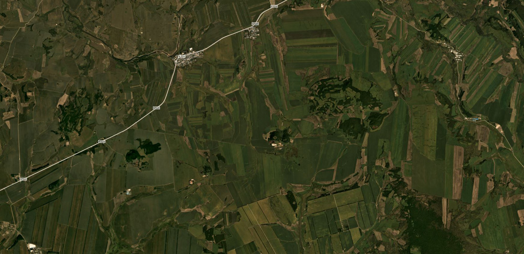
The Keluo volcanic field in NE China is located near the Russian border, S of the Heilongjiang (Black Dragon) River. Like its better known neighbor to the S, the Wudalianchi volcanic field, it contains many high-potassium basaltic cinder cones. Nanshan cone, located at the southern end of the field N of the Keluo River, may be of historical age, based on its youthful appearance, and Gushan may also be Holocene. Other cones to the NE are of Pleistocene to Tertiary. Cinder cones are located at the intersections of regional NE- and NW-trending lineaments, and were erupted through basement volcanic and sedimentary rocks of Jurassic-Cretaceous age, granitic rocks, and pre-Permian metasediments. There are unconfirmed reports of observed activity.
Storia delle eruzioni
GlossarioCronologia dettagliata
Nessuna registrazione di eruzioni disponibile.
Vulcani nelle vicinanze
Link esterni
⚠ Solo a scopo informativo. Non adatto a situazioni di emergenza.