Stati Uniti · Campo vulcanico
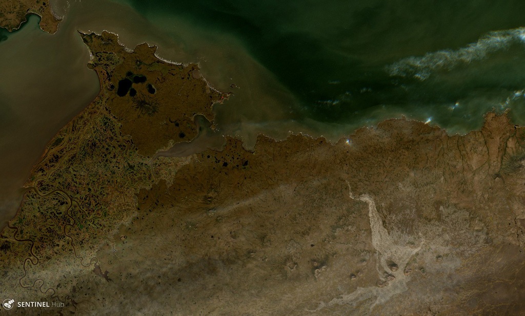
St. Michael volcanic field
St. Michael
- Tipo
- Campo vulcanico
- Altitudine
- 715 m
- Ultima eruzione
- Sconosciuto
- Tipo
- Campo vulcanico
- Paese
- Stati Uniti
- Regione
- Nord America / Northern Alaska-Bering Sea Volcanic Province
- Altitudine
- 715 m
- Coordinate
- 63.450, -162.120
- Ultima eruzione
- Sconosciuto
- Contesto tettonico
- Intraplacca / Crosta continentale (> 25 km)
- Forma vulcanica
- Gruppo vulcanico
- Roccia principale
- Basalto / Picrobasalto
Sintesi geologica
Originale in ingleseThe St. Michael volcanic field, at the south end of Norton Sound, includes more than 55 cones and craters on St. Michael and Stuart islands.
Estratto dal Global Volcanism Program, Smithsonian Institution · Leggi la sintesi completa sul GVP →
Sintesi da Wikipedia
Riassunto in ingleseThe St. Michael volcanic field is a volcanic field located on St. Michael and Stuart Islands in western Alaska, United States.
Wikipedia · CC BY-SA · Continua a leggere su Wikipedia in inglese →
Storia delle eruzioni
GlossarioCronologia dettagliata
Nessuna registrazione di eruzioni disponibile.
Vulcani nelle vicinanze
Link esterni
⚠ Solo a scopo informativo. Non adatto a situazioni di emergenza.