Stati Uniti · Anello di tufo
Buzzard Creek
- Tipo
- Anello di tufo
- Altitudine
- 830 m
- Ultima eruzione
- -1050
- Tipo
- Anello di tufo
- Paese
- Stati Uniti
- Regione
- Nord America / Alaska Peninsula Volcanic Arc
- Altitudine
- 830 m
- Coordinate
- 64.062, -148.433
- Ultima eruzione
- -1050
- Contesto tettonico
- Zona di subduzione / Crosta continentale (> 25 km)
- Forma vulcanica
- Minore (basaltico)
- Roccia principale
- Basalto / Picrobasalto
Sintesi geologica
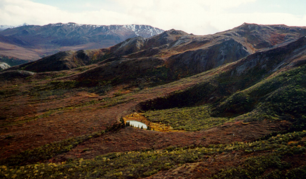
Two Holocene tuff rings form craters 300 and 66 m wide near the headwaters of Buzzard Creek at the northern foot of the central Alaska Range NE of the town of Healy along the Parks Highway. Both contain small lakes, and the smaller ring is about 200 m SE of the larger one. The total volume of ejecta, most of which is accessory material, probably does not exceed 0.001 km3. The ejecta overlies young glacial terraces that correlate with a glacial stage that ended about 10,000 years ago, and radiocarbon dates give an age for the eruption that formed the tuff rings of about 3,000 years. This minor volcanic feature lies along trend with the Aleutian arc, but is located 320 km NE of its nearest Holocene neighbor (Hayes volcano), and directly over the northernmost corner of the subducting Pacific Plate.
Sintesi da Wikipedia
Riassunto in ingleseThe Buzzard Creek craters are two tuff rings near Healy, Alaska, United States. Its highest point is 2,723 ft.
Wikipedia · CC BY-SA · Leggi l'articolo completo →
Storia delle eruzioni
1 registrateGlossarioCronologia dettagliata
- 1050 a.C.VEI 2Stima geologica1050 a.C. – fine sconosciuta
Vulcani nelle vicinanze
Link esterni
⚠ Solo a scopo informativo. Non adatto a situazioni di emergenza.