Stati Uniti · Campo vulcanico
Red Hill volcanic field
Red Hill-Quemado
- Tipo
- Campo vulcanico
- Altitudine
- 2300 m
- Ultima eruzione
- -9450
- Tipo
- Campo vulcanico
- Paese
- Stati Uniti
- Regione
- Nord America / Basin and Range Volcanic Province
- Altitudine
- 2300 m
- Coordinate
- 34.250, -108.830
- Ultima eruzione
- -9450
- Contesto tettonico
- Zona di rift / Crosta continentale (> 25 km)
- Forma vulcanica
- Gruppo vulcanico
- Roccia principale
- Basalto / Picrobasalto
Sintesi geologica
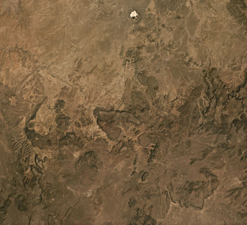
The Red Hill-Quemado volcanic field in western New Mexico is across the border from the Springerville volcanic field in Arizona and contains more than 40 cinder cones and maars that were active from the late Miocene to early Holocene. The volcanic field lies along the NE-trending Jemez Lineament that extends from SE Colorado to east-central Arizona. Dating by Onken and Forman (2017) showed that three eruptive events took place during the early Holocene, and that the 2-km-wide Zuni Salt Lake maar with its late-stage nested cinder cones was formed about 11,000-11,800 calibrated 14C years ago.
Storia delle eruzioni
3 registrateGlossarioRiepilogo (VEI nel tempo)
Fai clic su una barra per vedere le singole eruzioni · Usa le frecce per spostarti tra le barre, Invio per aprire
Cronologia dettagliata
- 9450 a.C. (±400 anni)VEI ?Stima geologica9450 a.C. – fine sconosciutaZuni Salt Lake maar
- 9700 a.C. (±450 anni)VEI ?Stima geologica9700 a.C. – fine sconosciuta2.5 km radius of Zuni Salt Lake
- 9850 a.C. (±500 anni)VEI ?Stima geologica9850 a.C. – fine sconosciutaCerro Pomo?
Vulcani nelle vicinanze
Link esterni
⚠ Solo a scopo informativo. Non adatto a situazioni di emergenza.