Messico · Campo vulcanico
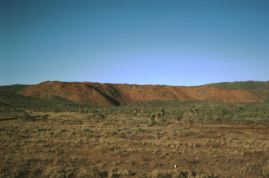
San Borja Volcanic Field
- Tipo
- Campo vulcanico
- Altitudine
- 1360 m
- Ultima eruzione
- Sconosciuto
- Tipo
- Campo vulcanico
- Paese
- Messico
- Regione
- Pacifico orientale / Gulf of California Rift Volcanic Province
- Altitudine
- 1360 m
- Coordinate
- 28.500, -113.750
- Ultima eruzione
- Sconosciuto
- Contesto tettonico
- Zona di rift / Crosta continentale (> 25 km)
- Forma vulcanica
- Gruppo vulcanico
- Roccia principale
- Andesite / Andesite basaltica
Sintesi geologica
The San Borja (or El Rosarito) volcanic field, is located in central Baja California NE of the Vizcaino Peninsula. Holocene lava flows occur at Rosarito and Morro San Domingo at the western end of the field along the coast north of the Vizcaino Peninsula. Some lava flows are less vegetated than flows of the San Quintín volcanic field to the north that overlie 5,000-6,000 year-old midden deposits (Rogers et al., 1985). The Holocene lava flows in the western part of this alkalic volcanic field are of basaltic andesite and andesitic composition.
Storia delle eruzioni
GlossarioCronologia dettagliata
Nessuna registrazione di eruzioni disponibile.
Vulcani nelle vicinanze
Link esterni
- Non ancora su Wikipedia (Italiano). Puoi contribuire su Wikidata.
- Pagina originale Smithsonian GVP
⚠ Solo a scopo informativo. Non adatto a situazioni di emergenza.