Ecuador · Stratovulcano
Soche
- Tipo
- Stratovulcano
- Altitudine
- 3955 m
- Ultima eruzione
- -6650
- Tipo
- Stratovulcano
- Paese
- Ecuador
- Regione
- Sud America / Northern Andean Volcanic Arc
- Altitudine
- 3955 m
- Coordinate
- 0.552, -77.580
- Ultima eruzione
- -6650
- Contesto tettonico
- Zona di subduzione / Crosta continentale (> 25 km)
- Forma vulcanica
- Composito
- Roccia principale
- Dacite
Sintesi geologica
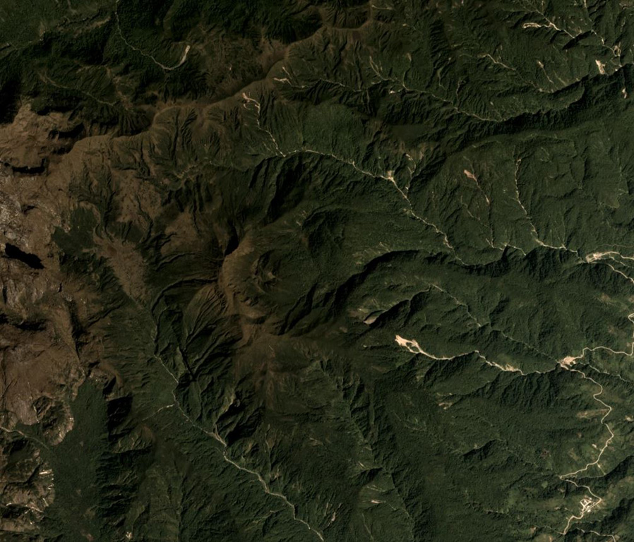
Volcán el Soche, a small stratovolcano near the Colombia border, is the northernmost of a chain of Ecuadorian volcanoes east of the principal volcanic axis. This dominantly dacitic volcano was constructed over Paleozoic rocks and has a summit caldera open to the E. A major explosive eruption took place during the early Holocene at about 8600 years BP, depositing tephra NW into Colombia. The ejection of voluminous dacitic airfall pumice and pyroclastic flows was followed by the formation of two lava domes in the caldera.
Sintesi da Wikipedia
Riassunto in ingleseSoche is a 3,955-metre-high (12,976 ft) dacitic volcano in Ecuador and is located on the northern end of a secondary volcanic chain. Constructed on a Paleozoic substratum, it contains an eastwards-opening caldera in the summit region. A large eruption in 6650 BCE generated ashfall into Colombia and two lava domes in the caldera. The ash- and lapilli-fall is about a metre thick in the Interandean valley and the neighbouring cordilleras and most likely represented a long-lasting obstacle for human population. Earlier eruptive events involving a lava flow that was subsequently offset by a fault zone named the Cayambe-Chingual fault by 110m occurred 9.67 ka BP, and another involving a pyroclastic flow was dated at 37.22 ± 0.63 ka BP.
Wikipedia · CC BY-SA · Leggi l'articolo completo →
Storia delle eruzioni
1 registrateGlossarioCronologia dettagliata
- 6650 a.C.VEI 5Stima geologica6650 a.C. – fine sconosciuta
Vulcani nelle vicinanze
Link esterni
⚠ Solo a scopo informativo. Non adatto a situazioni di emergenza.