Cile · Maar
Cerro Tujle
Tujle, Cerro
- Tipo
- Maar
- Altitudine
- 3550 m
- Ultima eruzione
- Sconosciuto
- Tipo
- Maar
- Paese
- Cile
- Regione
- Sud America / Central Andean Volcanic Arc
- Altitudine
- 3550 m
- Coordinate
- -23.830, -67.950
- Ultima eruzione
- Sconosciuto
- Contesto tettonico
- Zona di subduzione / Crosta continentale (> 25 km)
- Forma vulcanica
- Minore
- Roccia principale
- Nessun dato
Sintesi geologica
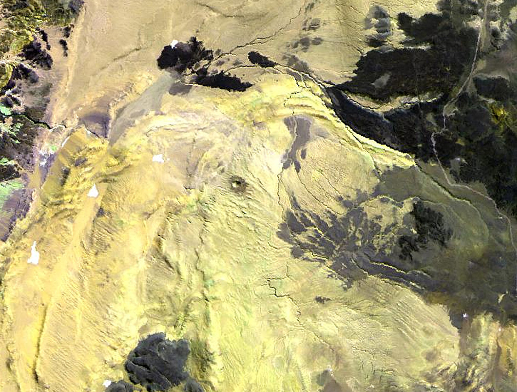
The Cerro Tujle maar (also known as Cerro Tucle or Cerro Tugle) in the Cordón de Tujle has a 60-m-deep crater (de Silva and Francis, 1991). The maar is located SE of the Salar de Atacama, N of Cerro Toloncha.
Storia delle eruzioni
GlossarioCronologia dettagliata
Nessuna registrazione di eruzioni disponibile.
Vulcani nelle vicinanze
Link esterni
⚠ Solo a scopo informativo. Non adatto a situazioni di emergenza.