Cile · Campo vulcanico
Cayutue-La Vigueria
- Tipo
- Campo vulcanico
- Altitudine
- 506 m
- Ultima eruzione
- -190
- Tipo
- Campo vulcanico
- Paese
- Cile
- Regione
- Sud America / Southern Andean Volcanic Arc
- Altitudine
- 506 m
- Coordinate
- -41.300, -72.270
- Ultima eruzione
- -190
- Contesto tettonico
- Zona di subduzione / Crosta continentale (> 25 km)
- Forma vulcanica
- Gruppo vulcanico
- Roccia principale
- Basalto / Picrobasalto
Sintesi geologica
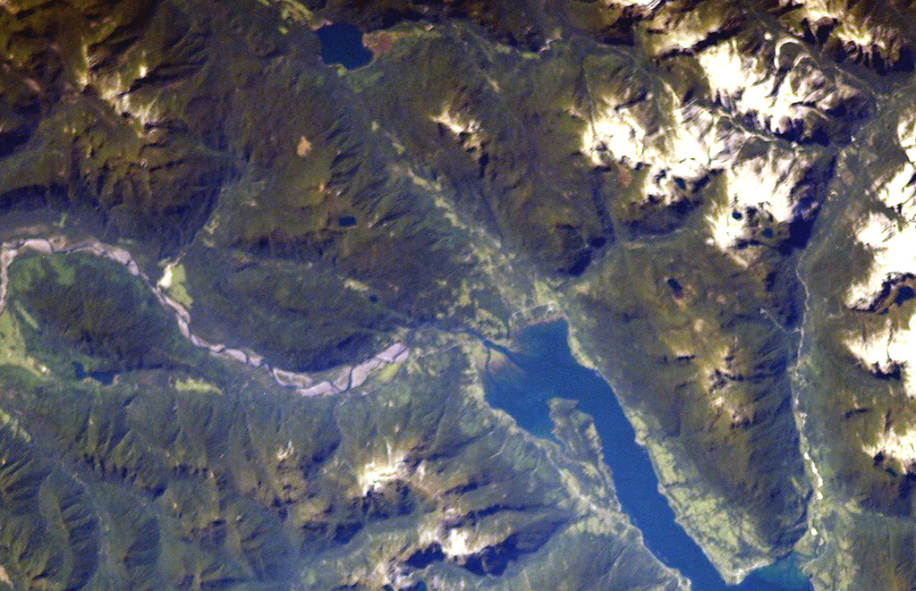
The Cayutué-La Viguería volcanic field consists of about 20 basaltic maars and cinder cones of Holocene age along the N-S-trending Liquiñe-Ofqui fault zone. The field occupies a low-lying area between the southern end of Ensenada Cayutué (the southern extension of Lake Todos los Santos) and the northern end of the Estuario Reloncaví. La Viguería and Volcán Cayutué are the principal cones. Formation of La Viguería and associated lava flows temporarily dammed the Río Petrohué about 3,000 years ago, forming an ephemeral lake that was filled with deposits from Calbuco and Osorno volcanoes. Pyroclastic cones and lava flows filled the Ensenada de Cayutué depression, separating Lake Todos los Santos from Ralún Bay.
Storia delle eruzioni
1 registrateGlossarioCronologia dettagliata
- 190 a.C. (±190 anni)VEI ?Stima geologica190 a.C. – fine sconosciutaLa Viguería
Vulcani nelle vicinanze
Link esterni
- Non ancora su Wikipedia (Italiano). Puoi contribuire su Wikidata.
- Pagina originale Smithsonian GVP
⚠ Solo a scopo informativo. Non adatto a situazioni di emergenza.