Portogallo · Frattura eruttiva
Picos Volcanic System
Picos Fissural Volcanic System
- Tipo
- Frattura eruttiva
- Altitudine
- 350 m
- Ultima eruzione
- 1652
- Tipo
- Frattura eruttiva
- Paese
- Portogallo
- Regione
- Oceano Atlantico / Azores-Terceira Rift Volcanic Province
- Altitudine
- 350 m
- Coordinate
- 37.780, -25.670
- Ultima eruzione
- 1652
- Contesto tettonico
- Zona di rift / Crosta oceanica (< 15 km)
- Forma vulcanica
- Gruppo vulcanico
- Roccia principale
- Trachibasalto / Tefrite basanite
Sintesi geologica
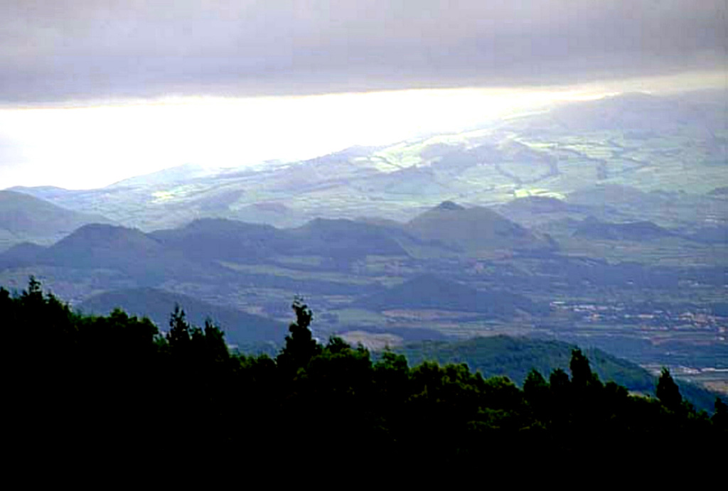
Originale in ingleseNearly 200 scoria cones of the Picos volcanic system dot the narrow central zone of Sao Miguel Island between Sete Cidades and Agua de Pau volcanoes.
Estratto dal Global Volcanism Program, Smithsonian Institution · Leggi la sintesi completa sul GVP →
Sintesi da Wikipedia
Riassunto in ingleseThe Picos Volcanic Fissural System is a system of scoria cones that build up the central region of the island of São Miguel.
Wikipedia · CC BY-SA · Continua a leggere su Wikipedia in inglese →
Storia delle eruzioni
7 registrateGlossarioSintesi del registro
- Eruzioni confermate
- 7
- Eruzioni incerte
- 0
- Arco del registro confermato
- 4040 a.C. – 1652
- Eruzione confermata più grande
- VEI 2 (1652)
- Eruzioni confermate dal 1900
- 0
Riepilogo (VEI nel tempo)
Fai clic su una barra per vedere le singole eruzioni · Usa le frecce per spostarti tra le barre, Invio per aprire
Cronologia dettagliata
- 1652VEI 2Osservata1652-10-19 – 1652-10-26Eastern part (SW of Fogo 1 cone)
- 940 (±100 anni)VEI ?Stima geologica940 – fine sconosciutaEastern part (Mata des Feiticeiras)
- 850 (±150 anni)VEI ?Stima geologica850 – fine sconosciutaEast-central part (Cruz)
- 600 (±100 anni)VEI ?Stima geologica600 – fine sconosciutaEast-central part (Caldeirao)
- 510 a.C. (±200 anni)VEI ?Stima geologica510 a.C. – fine sconosciutaNorth-central part (Furna)
- 850 a.C. (±100 anni)VEI ?Stima geologica850 a.C. – fine sconosciutaNorth-central part (Aflitos)
- 4040 a.C.VEI ?Stima geologica4040 a.C. – fine sconosciuta
Vulcani nelle vicinanze
Link esterni
⚠ Solo a scopo informativo. Non adatto a situazioni di emergenza.