독일 · 화산군
West Eifel Volcanic Field
- 화산 유형
- 화산군
- 해발
- 600m
- 마지막 분화
- -8300년
- 화산 유형
- 화산군
- 국가
- 독일
- 지역
- 유럽 / Central European Volcanic Province
- 해발
- 600m
- 좌표
- 50.170, 6.850
- 마지막 분화
- -8300년
- 판구조 환경
- 열곡대 / 대륙 지각 (> 25 km)
- 화산 지형
- 화산군
- 주요 암석
- 포이다이트
지질학적 요약
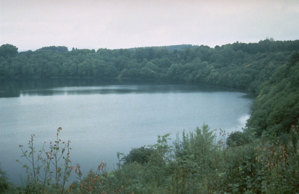
The West Eifel Volcanic Field of western Germany, SW of the city of Bonn, is a dominantly Pleistocene group of 240 scoria cones, maars, and small stratovolcanoes covering an area of about 600 km2. The smaller, but better known, East Eifel Volcanic Field is about 40 km NE. Individual vents spread across a broad NW-SE-trending area extending about 50 km from the towns of Ormont on the NW to Bad Bertrich on the SE. Eruptions originated from a mantle plume through Devonian sedimentary and metamorphic rocks. Two-thirds of the volcanic centers in the field are scoria cones; lava flows have been produced from about half of them. About 30% of the centers are maars or tuff rings, many of which are occupied by lakes. About 230 eruptions have occurred during the past 730,000 years. The latest eruptions formed the Ulmener, Pulvermaar, and Strohn maars around the end of the Pleistocene and the beginning of the Holocene.
분화 이력
2건 기록용어집상세 타임라인
- 기원전 8300년 (±300년)VEI ?지질학적 추정기원전 8300 ~ 종료일 미상Strohn, Pulvermaar
- 기원전 8740년 (±150년)VEI ?지질학적 추정기원전 8740 ~ 종료일 미상Ulmener Maar
주변 화산
외부 링크
- 한국어 Wikipedia에 아직 기사가 없습니다. Wikidata에서 작성할 수 있습니다.
- Smithsonian GVP 원본 페이지
⚠ 참고용 정보입니다. 재난 대응에 사용하지 마세요.