에티오피아 · 화산군
Sodore
Melkassa
- 화산 유형
- 화산군
- 해발
- 1765m
- 마지막 분화
- 미확인
- 화산 유형
- 화산군
- 국가
- 에티오피아
- 지역
- 동아프리카 / Main Ethiopian Rift Volcanic Province
- 해발
- 1765m
- 좌표
- 8.430, 39.350
- 마지막 분화
- 미확인
- 판구조 환경
- 판 내부 / 대륙 지각 (> 25 km)
- 화산 지형
- 화산군
- 주요 암석
- 현무암 / 피크로현무암
지질학적 요약
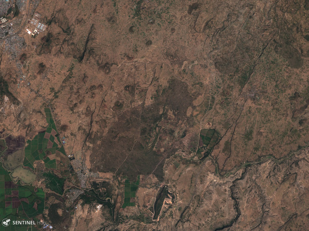
The Melkassa (or Sodore) volcanic field is an extensive 15 x 25 km group of about 30 Pleistocene and Holocene pyroclastic cones and lava flows that covers the floor of the E side of the Ethiopian Rift Valley, around the town of Melkassa, between the Boset volcanic complex and Gedamsa caldera.
분화 이력
용어집상세 타임라인
분화 기록이 없습니다.
주변 화산
외부 링크
- 한국어 Wikipedia에 아직 기사가 없습니다. Wikidata에서 작성할 수 있습니다.
- Smithsonian GVP 원본 페이지
⚠ 참고용 정보입니다. 재난 대응에 사용하지 마세요.