케냐 · 성층화산
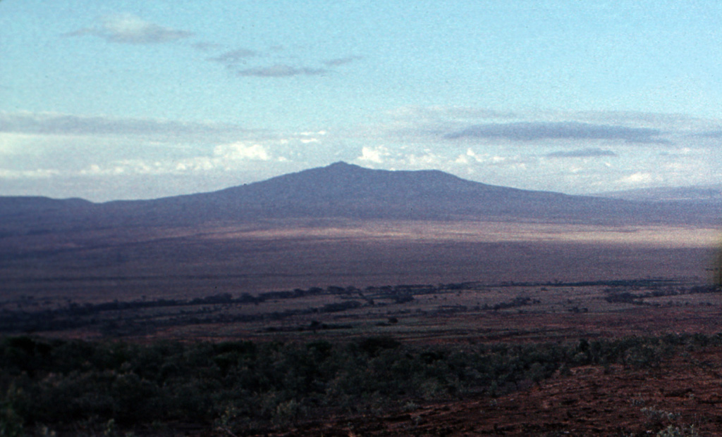
Mount Longonot
Longonot
- 화산 유형
- 성층화산
- 해발
- 2776m
- 마지막 분화
- 1863년
- 화산 유형
- 성층화산
- 국가
- 케냐
- 지역
- 동아프리카 / Kenyan Rift Volcanic Province
- 해발
- 2776m
- 좌표
- -0.914, 36.446
- 마지막 분화
- 1863년
- 판구조 환경
- 열곡대 / 대륙 지각 (> 25 km)
- 화산 지형
- 복성화산체
- 주요 암석
- 조면암 / 조면데사이트
지질학적 요약
The trachytic Longonot stratovolcano SE of Lake Naivasha in the Gregory Rift valley contains a 8 x 12 km caldera. Formation of the caldera accompanied large explosive eruptions about 21,000 years ago. A large central cone that was constructed within the caldera, which forms the summit, is truncated by a circular, 1.8-km-wide crater. Post-caldera lavas are found on the caldera floor and the volcano's flanks, marking a late stage of effusive eruptions. A well-preserved satellitic cone is located on the NE flank. Masai tradition records a lava flow on the N flank during the 19th century. Similarly youthful-looking lava flows occur on the SW flank.
분화 이력
3건 기록용어집요약 (VEI 시계열)
막대를 클릭하면 개별 분화가 표시됩니다 · 화살표 키로 막대 이동, Enter로 열기
상세 타임라인
- 1863년 (±5년)VEI 0지질학적 추정1863-07-02 ~ 종료일 미상Northern flank
- 기원전 1330년 (±100년)VEI ?지질학적 추정기원전 1330 ~ 종료일 미상
- 기원전 7200년 (±100년)VEI ?지질학적 추정기원전 7200 ~ 종료일 미상
주변 화산
외부 링크
⚠ 참고용 정보입니다. 재난 대응에 사용하지 마세요.