카메룬 · 화산군
Tombel Graben
- 화산 유형
- 화산군
- 해발
- 500m
- 마지막 분화
- 미확인
- 화산 유형
- 화산군
- 국가
- 카메룬
- 지역
- 북아프리카 / Western Africa Volcanic Province
- 해발
- 500m
- 좌표
- 4.758, 9.717
- 마지막 분화
- 미확인
- 판구조 환경
- 판 내부 / 대륙 지각 (> 25 km)
- 화산 지형
- 화산군
- 주요 암석
- 조면현무암 / 테프라이트 바사나이트
지질학적 요약
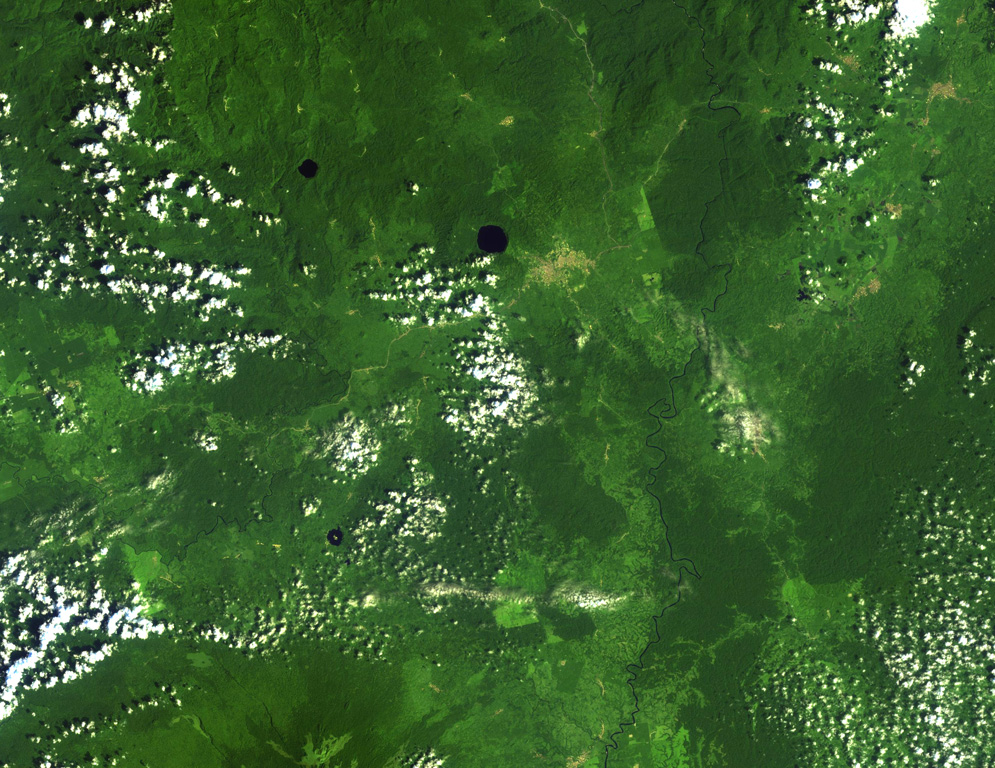
Young cinder cones and maars are abundant in the low-lying Tombel Graben (also referred to as the Tombel Plain) between Mount Cameroon and Mount Manengouba (within 4°58'N, 9°51'E and 4°33'N, 9°35'E). Mount Koupe, composed of Tertiary syenite, dominates the area. Activity began with the emission of large lava flows over Precambrian metamorphic rocks and Cretaceous sandstones, and concluded with explosive activity forming numerous cinder cones. The 800 km2 volcanic field, which erupted basanitic, basaltic, and trachybasaltic rocks, contains three large lake-filled maars, including Barombi Mbo, a compound maar near the town of Kumba. Legends record an eruption of Le Djungo (also known as Mont Pelé) that destroyed a village; though a small craterless cone is marked along a fault line on a map in Nkono (2009, after Nkouathio et al., 2002) it's unclear what cone is being described by the story, because no noticeably younger or unvegetated cones are apparent in satellite imagery. Two samples taken from the Njombe area in the farthest SW part of the field were K-Ar dated as possible Holocene (Nkouathio et al., 2008), though the error was too large to be definitive.
분화 이력
용어집상세 타임라인
분화 기록이 없습니다.
주변 화산
외부 링크
- 한국어 Wikipedia에 아직 기사가 없습니다. Wikidata에서 작성할 수 있습니다.
- Smithsonian GVP 원본 페이지
⚠ 참고용 정보입니다. 재난 대응에 사용하지 마세요.