수단 · 화산군
Kutum Volcanic Field
- 화산 유형
- 화산군
- 해발
- 1779m
- 마지막 분화
- 미확인
- 화산 유형
- 화산군
- 국가
- 수단
- 지역
- 북아프리카 / Southeast Sahara Volcanic Province
- 해발
- 1779m
- 좌표
- 14.570, 25.850
- 마지막 분화
- 미확인
- 판구조 환경
- 판 내부 / 대륙 지각 (> 25 km)
- 화산 지형
- 화산군
- 주요 암석
- 현무암 / 피크로현무암
지질학적 요약
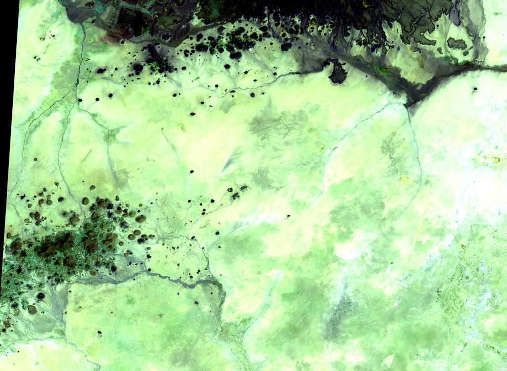
The basaltic Kutum volcanic field, in the northern Darfur area of western Sudan, is located SW of the larger Meidob volcanic field. As with other Saharan volcanic fields, Kutum (also known as the Tagabo Hills or Berti Hills) contains very well-preserved cones, lava flows, and explosion craters. They were considered to be of late-Pleistocene or even Holocene age (Almond, 1974). Franz et al. (1997), however, assigned only Tertiary age ranges for rocks from Tagabo Hills.
분화 이력
용어집상세 타임라인
분화 기록이 없습니다.
주변 화산
외부 링크
- 한국어 Wikipedia에 아직 기사가 없습니다. Wikidata에서 작성할 수 있습니다.
- Smithsonian GVP 원본 페이지
⚠ 참고용 정보입니다. 재난 대응에 사용하지 마세요.