통가 · 복합화산
Curacoa volcano
Curacoa
- 화산 유형
- 복합화산
- 해발
- 33m (해저)
- 마지막 분화
- 1979년
- 화산 유형
- 복합화산
- 국가
- 통가
- 지역
- 통가·케르마덱 / Tofua Volcanic Arc
- 해발
- 33m (해저)
- 좌표
- -15.620, -173.670
- 마지막 분화
- 1979년
- 판구조 환경
- 섭입대 / 해양 지각 (< 15 km)
- 화산 지형
- 복성화산체
- 주요 암석
- 데사이트
지질학적 요약
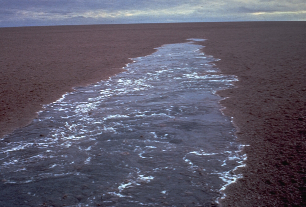
A submarine volcano south of Curacoa Reef at the northern end of the Tofua volcanic arc was first observed in eruption in 1973. Explosive eruptions, which produced large rafts of dacitic pumice, covering an area of more than 100 km2, were observed from the island of Tafahi, 27 km SSW. The eruption site was located about 6.5 km SW of Curacoa Reef. Multiple submarine vents are apparently located in this area; a second eruption was reported in 1979 from a location 13 km N of Tafahi.
분화 이력
2건 기록용어집요약 (VEI 시계열)
막대를 클릭하면 개별 분화가 표시됩니다 · 화살표 키로 막대 이동, Enter로 열기
상세 타임라인
- 1979년VEI 1관측 기록1979-05-14 ~ 종료일 미상13 km north of Tafahi
- 1973년VEI 3관측 기록1973-07-11 ~ 1973-07-166.4 km SW of Curacoa Reef
주변 화산
외부 링크
⚠ 참고용 정보입니다. 재난 대응에 사용하지 마세요.