파푸아뉴기니 · 복합화산
St. Andrew Strait
- 화산 유형
- 복합화산
- 해발
- 270m
- 마지막 분화
- 1957년
- 화산 유형
- 복합화산
- 국가
- 파푸아뉴기니
- 지역
- 남서태평양 / Bismarck Sea Volcanic Province
- 해발
- 270m
- 좌표
- -2.380, 147.350
- 마지막 분화
- 1957년
- 판구조 환경
- 섭입대 / 해양 지각 (< 15 km)
- 화산 지형
- 복성화산체
- 주요 암석
- 유문암
지질학적 요약
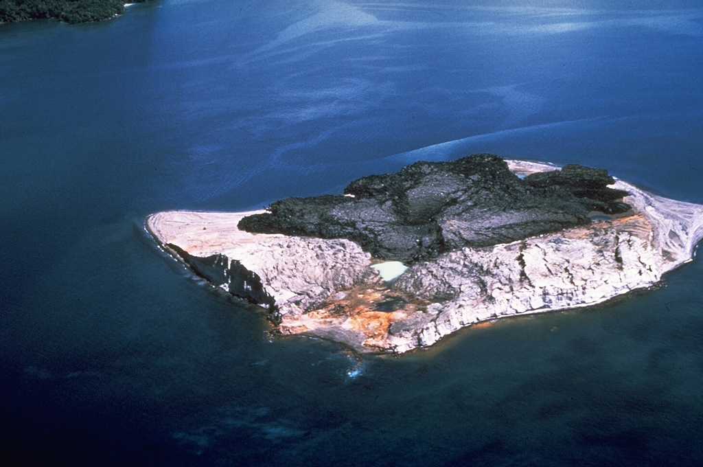
The St. Andrew Strait volcano, located in the Admiralty Islands north of Papua New Guinea, consists of a series of overlapping Quaternary cones formed by rhyolitic lava flows and pyroclastic materials on Lou and Tuluman Islands. Volcanism is aligned on a curved arc extending through the 12-km-long Lou Island. The Tuluman Islands, 1.5 km S of Lou Island, were formed during a 1953-1957 eruption. Pam Lin and Pam Mandian Islands farther to the SE along the same arc contain fresh rhyolitic obsidian similar to that found on Tuluman.
분화 이력
5건 기록용어집요약 (VEI 시계열)
막대를 클릭하면 개별 분화가 표시됩니다 · 화살표 키로 막대 이동, Enter로 열기
상세 타임라인
- 1953년VEI 2관측 기록1953-06-27 ~ 1957-01-28Tuluman
- 1931년VEI 0근거 미기재1931-07-02 ~ 종료일 미상Tuluman (?)
- 1883년VEI 2관측 기록1883-03-28 ~ 종료일 미상Tuluman
- 350년VEI ?지질학적 추정350 ~ 종료일 미상Lou Island (Bedal volcano)
- 기원전 240년 (±100년)VEI ?지질학적 추정기원전 240 ~ 종료일 미상Lou Island (Bedal volcano)
주변 화산
외부 링크
⚠ 참고용 정보입니다. 재난 대응에 사용하지 마세요.