솔로몬 제도 · 성층화산
Simbo
- 화산 유형
- 성층화산
- 해발
- 335m
- 마지막 분화
- 1910년
- 화산 유형
- 성층화산
- 국가
- 솔로몬 제도
- 지역
- 남서태평양 / Solomon Volcanic Province
- 해발
- 335m
- 좌표
- -8.292, 156.520
- 마지막 분화
- 1910년
- 판구조 환경
- 섭입대 / 지각 두께 미상
- 화산 지형
- 복성화산체
- 주요 암석
- 안산암 / 현무암질 안산암
지질학적 요약
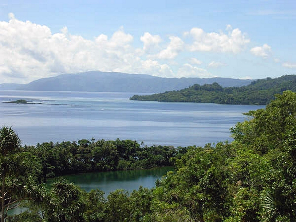
Simbo is a small island in the western Solomons with three truncated andesitic volcanic centers. The only Potassium-Argon date (2.3 +/- 1 million years ago from Mount Patukio) suggests a Pliocene-to-Pleistocene age for the island (Solomon Islands Geological Survey, 1982). The southern half of the island is thermally active. It contains fault-related fumarolic areas and hot springs near saltwater Lake Ove along the western coast and along the eastern coast near Mount Patukio, which has a steep-walled summit crater. Grover (1955) noted native accounts of the explosive enlargement of the Ngusunu explosion crater along the SW coast of the island one to two generations prior to 1955, probably after a visit by Guppy in 1882. Press reports mentioned an eruption in the early 1900s that forced the evacuation of villages beside Lake Ove, immediately adjacent to Ngusunu crater.
분화 이력
1건 기록용어집상세 타임라인
- 1910년 (±10년)VEI ?지질학적 추정1910-07-02 ~ 종료일 미상Ngusuna crater?
주변 화산
외부 링크
⚠ 참고용 정보입니다. 재난 대응에 사용하지 마세요.