인도네시아 · 성층화산
Malintang
- 화산 유형
- 성층화산
- 해발
- 1988m
- 마지막 분화
- 미확인
- 화산 유형
- 성층화산
- 국가
- 인도네시아
- 지역
- 순다·반다 / Sunda Volcanic Arc
- 해발
- 1988m
- 좌표
- 0.476, 99.663
- 마지막 분화
- 미확인
- 판구조 환경
- 섭입대 / 대륙 지각 (> 25 km)
- 화산 지형
- 복성화산체
- 주요 암석
- 안산암 / 현무암질 안산암
지질학적 요약
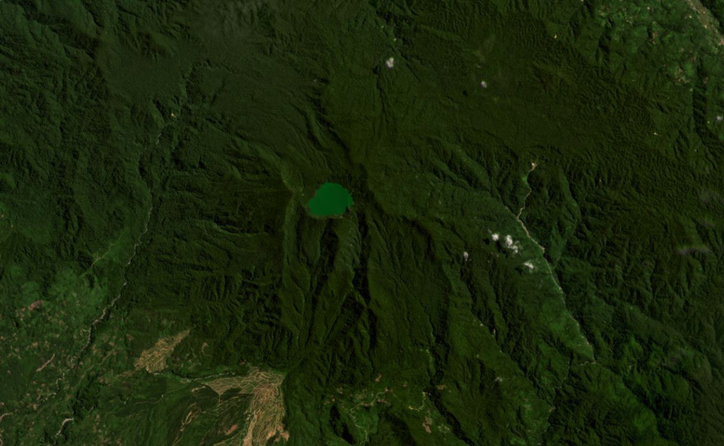
The broad forested Malintang andesitic-to-dacitic stratovolcano has an irregular summit crater with a 900 x 1,500 m lake. The flanks are relatively uneroded, and it most likely has had significant eruptions within the past few thousand years (Kieh, 2009 pers. comm.). The open caldera may be related to emplacement of a large debris avalanche.
분화 이력
용어집상세 타임라인
분화 기록이 없습니다.
주변 화산
외부 링크
- 한국어 Wikipedia에 아직 기사가 없습니다. Wikidata에서 작성할 수 있습니다.
- Smithsonian GVP 원본 페이지
⚠ 참고용 정보입니다. 재난 대응에 사용하지 마세요.