인도네시아 · 성층화산
Mount Teon
Teon
- 화산 유형
- 성층화산
- 해발
- 728m
- 마지막 분화
- 1904년
- 화산 유형
- 성층화산
- 국가
- 인도네시아
- 지역
- 순다·반다 / Inner Banda Volcanic Arc
- 해발
- 728m
- 좌표
- -6.976, 129.144
- 마지막 분화
- 1904년
- 판구조 환경
- 섭입대 / 해양 지각 (< 15 km)
- 화산 지형
- 복성화산체
- 주요 암석
- 안산암 / 현무암질 안산암
지질학적 요약
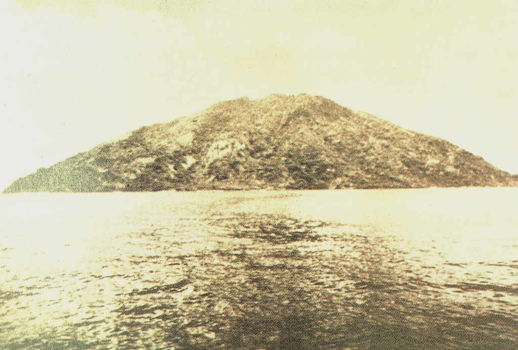
Teon, an elongated andesitic island volcano in the southwestern Banda arc, is also known as Serawerna, the name of its active crater. Another smaller crater is located to the NNE of Serawerna. Explosive eruptions have been recorded since the 17th century; the largest produced pyroclastic flows and surges in 1660 CE that caused damage and fatalities.
Wikipedia 요약
영어 요약Mount Teon is an elongated island in the Banda Sea, Indonesia. Explosive eruptions have been recorded from the volcano since the seventeenth century.
Wikipedia · CC BY-SA · 전체 기사 보기 →
분화 이력
5건 기록용어집요약 (VEI 시계열)
막대를 클릭하면 개별 분화가 표시됩니다 · 화살표 키로 막대 이동, Enter로 열기
상세 타임라인
- 1904년VEI 2관측 기록1904-06-03 ~ 종료일 미상
- 1693년VEI 3관측 기록1693 ~ 종료일 미상
- 1663년VEI 3관측 기록1663-01-18 ~ 종료일 미상
- 1660년VEI 4관측 기록1660-02 ~ 종료일 미상
- 1659년VEI 3관측 기록1659-11-11 ~ 종료일 미상
주변 화산
외부 링크
⚠ 참고용 정보입니다. 재난 대응에 사용하지 마세요.