인도네시아 · 복합화산
Ambang
- 화산 유형
- 복합화산
- 해발
- 1795m
- 마지막 분화
- 2005년
- 화산 유형
- 복합화산
- 국가
- 인도네시아
- 지역
- 서태평양 / Sangihe Volcanic Arc
- 해발
- 1795m
- 좌표
- 0.750, 124.420
- 마지막 분화
- 2005년
- 판구조 환경
- 섭입대 / 대륙 지각 (> 25 km)
- 화산 지형
- 복성화산체
- 주요 암석
- 안산암 / 현무암질 안산암
지질학적 요약
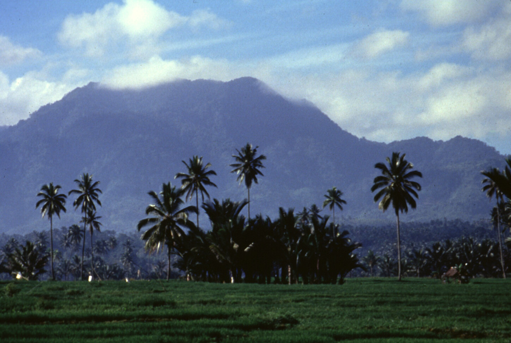
The compound Ambang volcano is the westernmost of the active volcanoes on the northern arm of Sulawesi. The stratovolcano rises 750 m above lake Danau. Several craters up to 400 m in diameter and five solfatara fields are located at the summit.
Wikipedia 요약
영어 요약Ambang is a complex of volcanoes at the western end of the northern arm of Sulawesi island, Indonesia. There are two lakes, lake Mo'oat and lake Tondok, at an elevation of 750 m. The larger of the two lakes is Mo'oat. Both of them are side by side. The volcano contains several craters up to 400 m in diameter and five solfatara fields. The only historical account of its eruption occurred sometime in the 1850s.
Wikipedia · CC BY-SA · 전체 기사 보기 →
분화 이력
2건 기록용어집요약 (VEI 시계열)
막대를 클릭하면 개별 분화가 표시됩니다 · 화살표 키로 막대 이동, Enter로 열기
상세 타임라인
- 2005년VEI 1관측 기록2005-12-22 ~ 종료일 미상
- 1845년 (±5년)VEI ?관측 기록1845-07-02 ~ 종료일 미상
주변 화산
외부 링크
⚠ 참고용 정보입니다. 재난 대응에 사용하지 마세요.