인도네시아 · 성층화산
Mount Hiri
Hiri
- 화산 유형
- 성층화산
- 해발
- 687m
- 마지막 분화
- 미확인
- 화산 유형
- 성층화산
- 국가
- 인도네시아
- 지역
- 서태평양 / Halmahera Volcanic Arc
- 해발
- 687m
- 좌표
- 0.897, 127.317
- 마지막 분화
- 미확인
- 판구조 환경
- 섭입대 / 해양 지각 (< 15 km)
- 화산 지형
- 복성화산체
- 주요 암석
- 현무암 / 피크로현무암
지질학적 요약
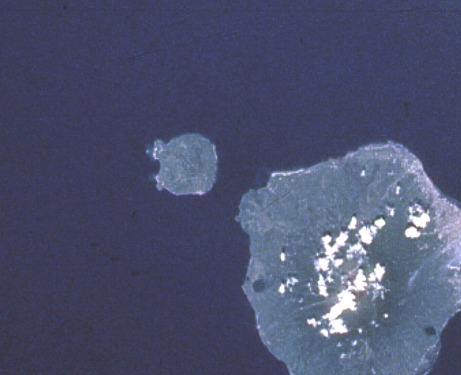
Hiri is a 3-km-wide forested island immediately north of Gamalama on Ternate Island, and is the northernmost of a chain of volcanic islands off the western coast of Halmahera. Two conical volcanic edifices are present within a larger caldera open to the W. Apandi and Sudana (1980) mapped it as Holocene in age, but no eruptions have been dated or reported.
Wikipedia 요약
영어 요약Hiri is a small, 3-kilometre-wide forested island immediately north of the island of Ternate, in the Maluku Islands of Indonesia. It is located at the northernmost part of a chain of volcanic islands off the western coast of Halmahera. It is a conical stratovolcano which rises to 630 m (2,067 ft). The island covers 9.72 km2 and had a population of 2,880 in mid 2023; it is administered as a district (kecamatan) of the City of Ternate. Its dominant neighbour to the south is the more active volcano of Mount Gamalama, on Ternate island.
Wikipedia · CC BY-SA · 전체 기사 보기 →
분화 이력
용어집상세 타임라인
분화 기록이 없습니다.
주변 화산
외부 링크
⚠ 참고용 정보입니다. 재난 대응에 사용하지 마세요.