필리핀 · 성층화산
Camiguin de Babuyanes
- 화산 유형
- 성층화산
- 해발
- 712m
- 마지막 분화
- 1857년
- 화산 유형
- 성층화산
- 국가
- 필리핀
- 지역
- 서태평양 / Luzon Volcanic Arc
- 해발
- 712m
- 좌표
- 18.830, 121.860
- 마지막 분화
- 1857년
- 판구조 환경
- 섭입대 / 지각 두께 미상
- 화산 지형
- 복성화산체
- 주요 암석
- 안산암 / 현무암질 안산암
지질학적 요약
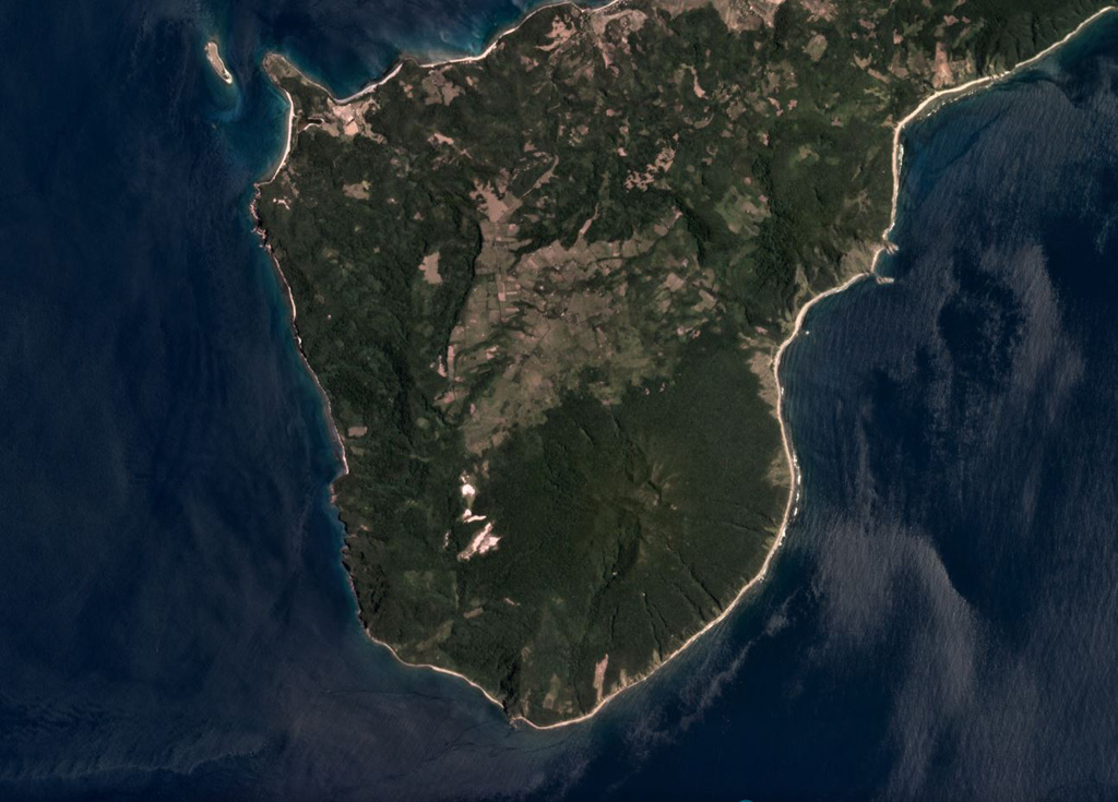
Forested Mount Camiguin occupies the SW tip of 22-km-long Camiguin Island in the Babuyan archipelago, north of Luzon Island. Following construction of an andesitic volcano during the Pliocene, the subsidiary cones of Minabul to the north and Caanoan to the east were constructed on the northern part of the island. The southern part of the island consists of three volcanic centers located along a SSE-NNW line, the andesitic Mount Camiguin stratovolcano and the young andesitic lava domes of Mt. Malabsing and Pamoctan. A phreatic eruption, possibly in part submarine, was reported from Camiguin de Babuyanes around 1857. Fumaroles are found on the SW, W, and E flanks of the volcano, and a boiling spring is located near sea level on the W flank.
분화 이력
1건 기록용어집상세 타임라인
- 1857년VEI 2관측 기록1857-07-02 ~ 종료일 미상SW flank
주변 화산
외부 링크
⚠ 참고용 정보입니다. 재난 대응에 사용하지 마세요.