미국 · 성층화산
South Sarigan Seamount
- 화산 유형
- 성층화산
- 해발
- 184m (해저)
- 마지막 분화
- 2010년
- 화산 유형
- 성층화산
- 국가
- 미국
- 지역
- 북서태평양 / Mariana Volcanic Arc
- 해발
- 184m (해저)
- 좌표
- 16.580, 145.780
- 마지막 분화
- 2010년
- 판구조 환경
- 섭입대 / 지각 두께 미상
- 화산 지형
- 복성화산체
- 주요 암석
- 자료 없음
지질학적 요약
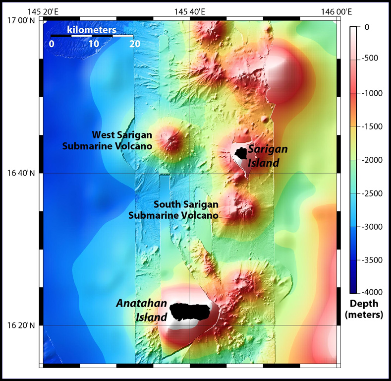
South Sarigan seamount, rising to within about 184 m of the ocean surface 12 km S of Sarigan Island, was the site of a short explosive submarine eruption in May 2010 that produced a plume of ash and steam to 12 km altitude. Sidescan sonar imagery taken in 2003 shows an irregular summit with multiple peaks, including a possibly young cone at about 350 m depth, and flank morphology suggests it is a frequently active volcano.
분화 이력
1건 기록용어집요약 (VEI 시계열)
막대를 클릭하면 개별 분화가 표시됩니다 · 화살표 키로 막대 이동, Enter로 열기
상세 타임라인
- 2010년VEI 3관측 기록2010-05-27 ~ 2010-05-29Northern summit cone, 184 m below sea level
주변 화산
외부 링크
- 한국어 Wikipedia에 아직 기사가 없습니다. Wikidata에서 작성할 수 있습니다.
- Smithsonian GVP 원본 페이지
⚠ 참고용 정보입니다. 재난 대응에 사용하지 마세요.