러시아 · 화쇄구
Zavaritsky
- 화산 유형
- 화쇄구
- 해발
- 1547m
- 마지막 분화
- -800년
- 화산 유형
- 화쇄구
- 국가
- 러시아
- 지역
- 북서태평양 / Eastern Kamchatka Volcanic Arc
- 해발
- 1547m
- 좌표
- 53.907, 158.385
- 마지막 분화
- -800년
- 판구조 환경
- 섭입대 / 대륙 지각 (> 25 km)
- 화산 지형
- 복성화산체
- 주요 암석
- 현무암 / 피크로현무암
지질학적 요약
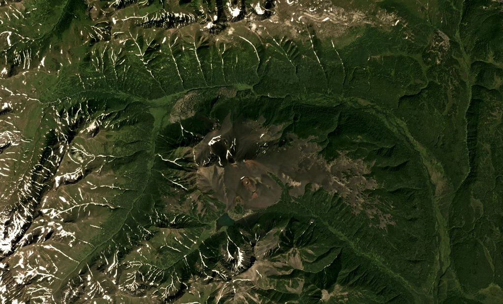
Zavaritsky volcano consists of a complex of six cinder cones trending NW-SE, and an explosion crater located near the headwaters of the Levaya Avacha River west of the main Eastern Kamchatka volcanic arc. The six cones were formed during an eruption about 2,800 years ago, during which associated lava flows blocked the Levaya Avacha and Ozernaya rivers, forming Lake Vulkanischeskoe along the Ozernaya drainage. The highest cone, Mount Peschanaya, lies near the southern end of the cone group. Other monogenetic cinder cones are located NW and NE of the volcano. The Berezovy cinder cone to the NW erupted ~11,000-10,000 radiocarbon years ago. An unnamed cone near the crest of a range dividing the Srednaya Avacha and Kavicha river drainages, about 14 km WNW, erupted about 3,000-2,500 years ago; it is slightly closer to Bakening volcano, but the chemistry of its products are related to those of Zavaritsky.
분화 이력
2건 기록용어집상세 타임라인
- 기원전 800년 (±500년)VEI 2지질학적 추정기원전 800 ~ 종료일 미상14 km WNW of Zavaritsky
- 기원전 850년VEI 4지질학적 추정기원전 850 ~ 종료일 미상Mt. Peschanaya and adjacent cones
주변 화산
외부 링크
- 한국어 Wikipedia에 아직 기사가 없습니다. Wikidata에서 작성할 수 있습니다.
- Smithsonian GVP 원본 페이지
⚠ 참고용 정보입니다. 재난 대응에 사용하지 마세요.