러시아 · 성층화산
Komarov
- 화산 유형
- 성층화산
- 해발
- 2065m
- 마지막 분화
- 950년
- 화산 유형
- 성층화산
- 국가
- 러시아
- 지역
- 북서태평양 / Eastern Kamchatka Volcanic Arc
- 해발
- 2065m
- 좌표
- 55.033, 160.725
- 마지막 분화
- 950년
- 판구조 환경
- 섭입대 / 대륙 지각 (> 25 km)
- 화산 지형
- 복성화산체
- 주요 암석
- 현무암 / 피크로현무암
지질학적 요약
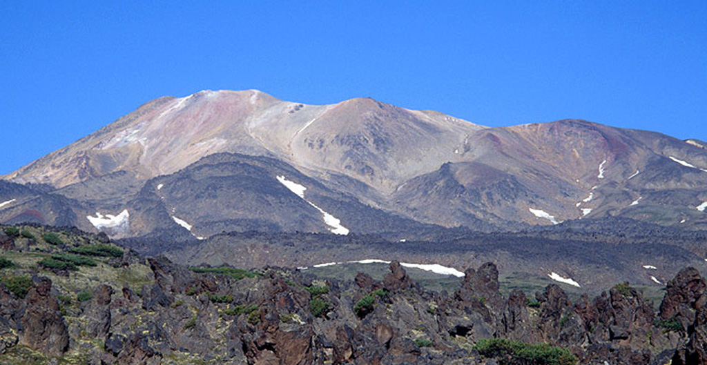
Komarov volcano is a complex structure along the Gamchen ridge. The summit area includes two irregular craters ~300m in diameter. Lengthy Holocene lava flows extend to the east and west. Growth began about 1,500 years ago following cessation of activity at Vysoky volcano. No reported eruptions are known, but the summit region has undergone extensive hydrothermal alteration, and fumarolic areas occur there and on the northern and southern flanks.
Wikipedia 요약
영어 요약Komarov is an inactive stratovolcano located in the southeastern part of the Kamchatka Peninsula, Russia. It was named after Vladimir L. Komarov.
Wikipedia · CC BY-SA · 전체 기사 보기 →
분화 이력
2건 기록용어집요약 (VEI 시계열)
막대를 클릭하면 개별 분화가 표시됩니다 · 화살표 키로 막대 이동, Enter로 열기
상세 타임라인
- 950년VEI ?지질학적 추정950 ~ 종료일 미상
- 450년VEI 0지질학적 추정450 ~ 종료일 미상
주변 화산
외부 링크
⚠ 참고용 정보입니다. 재난 대응에 사용하지 마세요.