미국 · 성층화산
Dutton
- 화산 유형
- 성층화산
- 해발
- 1465m
- 마지막 분화
- 미확인
- 화산 유형
- 성층화산
- 국가
- 미국
- 지역
- 북아메리카 / Aleutian Ridge Volcanic Arc
- 해발
- 1465m
- 좌표
- 55.183, -162.276
- 마지막 분화
- 미확인
- 판구조 환경
- 섭입대 / 대륙 지각 (> 25 km)
- 화산 지형
- 복성화산체
- 주요 암석
- 안산암 / 현무암질 안산암
지질학적 요약
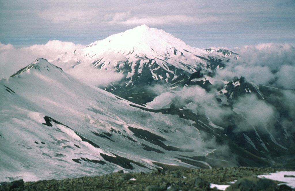
The Mount Dutton volcanic center east of Cold Bay near the tip of the Alaska Peninsula consists of a glacier-covered central lava dome complex. Early andesitic lava flows and late-stage dacitic domes have been partially removed by one or more edifice collapses about 5100-6800 years ago. Debris avalanches traveled west and south, reaching Belkofski Bay. The important regional fishing center of King Cove lies less than 15 km from the volcano, and the village's airstrip is built on top of the southern avalanche deposit. A steep-sided complex of lava domes forms the summit, and young block-and-ash flow deposits extend to the east. Two small unglaciated lava domes on the NE flank 3.5 km from the summit are also of Holocene age. Major earthquake swarms near the volcano were recorded in 1984-85 and 1988.
분화 이력
용어집상세 타임라인
분화 기록이 없습니다.
주변 화산
외부 링크
- 한국어 Wikipedia에 아직 기사가 없습니다. Wikidata에서 작성할 수 있습니다.
- Smithsonian GVP 원본 페이지
⚠ 참고용 정보입니다. 재난 대응에 사용하지 마세요.