본문으로 건너뛰기

미국 · 화산군

Stepovak Bay Group

화산 유형
화산군
해발
1633m
마지막 분화
미확인
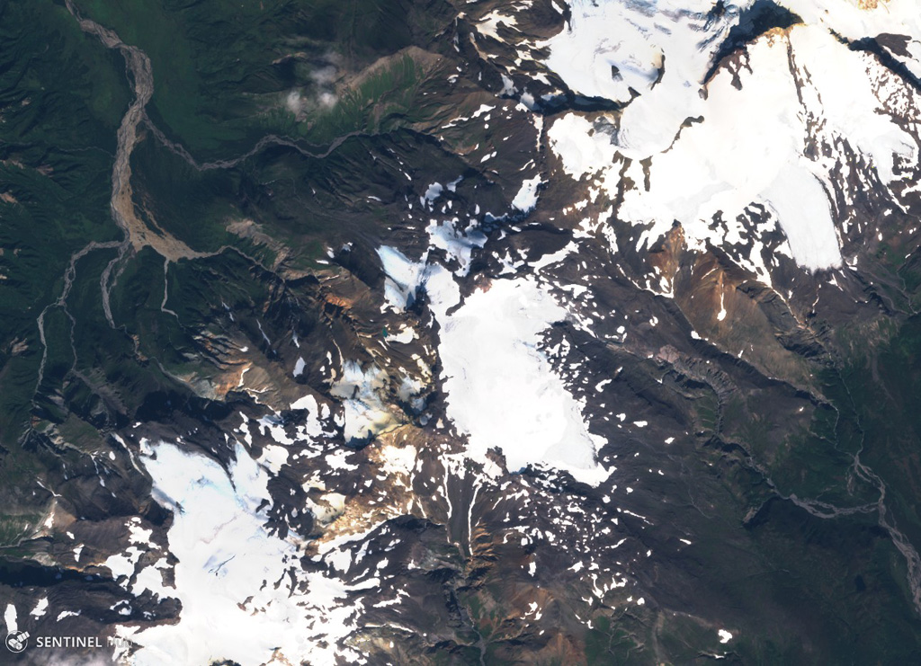
Stepovak Bay 2 is part of the Stepovak Bay Group on the western Alaska Peninsula. The group is located along a NE-trending ridge, seen here in this 14 September 2018 Sentinel-2 satellite image (N is at the top), which is approximately 14 km across. Several of the volcanoes have produced debris flows and lava flows in the Holocene.
Stepovak Bay 2 is part of the Stepovak Bay Group on the western Alaska Peninsula. The group is located along a NE-trending ridge, seen here in this 14 September 2018 Sentinel-2 satellite image (N is at the top), which is approximately 14 km across. Several of the volcanoes have produced debris flows and lava flows in the Holocene. · 사진: Satellite image courtesy of Copernicus Sentinel Data, 2018.
화산 유형
화산군
국가
미국
지역
북아메리카 / Aleutian Ridge Volcanic Arc
해발
1633m
좌표
55.917, -160.017
마지막 분화
미확인
판구조 환경
섭입대 / 대륙 지각 (> 25 km)
화산 지형
화산군

지질학적 요약

영어 원문

The Stepovak Bay Group is a chain of four cones, extending over a distance of 18 km, just SW of Kupreanof volcano.

출처: Global Volcanism Program, Smithsonian Institution (발췌) · GVP에서 전체 요약 읽기 →

분화 이력

용어집

상세 타임라인

분화 기록이 없습니다.

주변 화산

외부 링크

⚠ 참고용 정보입니다. 재난 대응에 사용하지 마세요.