본문으로 건너뛰기

미국 · 화산군

Behm Canal-Rudyerd Bay

화산 유형
화산군
해발
500m
마지막 분화
미확인
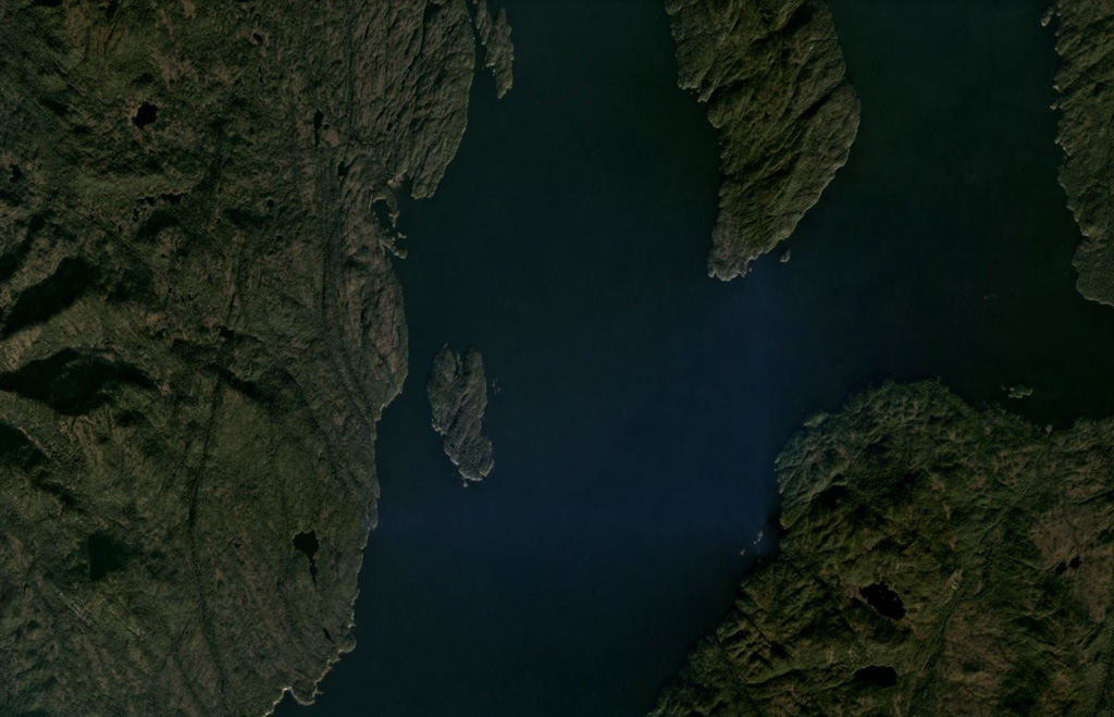
Scoria cones and columnar-jointed lava flows of the Behm Canal-Rudyerd Bay volcanic field occur on either side of Behm Canal (down the center of this image), shown in this October 2020 Planet Labs satellite image monthly mosaic (N is at the top; this image is approximately 20 km across). The majority of outcrops have been found on Revillagigedo Island (left), and additional features are on Rudyerd Island (near the center).
Scoria cones and columnar-jointed lava flows of the Behm Canal-Rudyerd Bay volcanic field occur on either side of Behm Canal (down the center of this image), shown in this October 2020 Planet Labs satellite image monthly mosaic (N is at the top; this image is approximately 20 km across). The majority of outcrops have been found on Revillagigedo Island (left), and additional features are on Rudyerd Island (near the center). · 사진: Satellite image courtesy of Planet Labs Inc., 2020 (https://www.planet.com/).
화산 유형
화산군
국가
미국
지역
북아메리카 / Northern Cordilleran Volcanic Province
해발
500m
좌표
55.350, -131.000
마지막 분화
미확인
판구조 환경
판 내부 / 대륙 지각 (> 25 km)
화산 지형
화산군
주요 암석
현무암 / 피크로현무암

지질학적 요약

영어 원문

Numerous basaltic cinder cones and lava flows occur in the panhandle of SE Alaska on both sides of Behm Canal, which divides Revillagigedo Island from the mainland.

출처: Global Volcanism Program, Smithsonian Institution (발췌) · GVP에서 전체 요약 읽기 →

분화 이력

용어집

상세 타임라인

분화 기록이 없습니다.

주변 화산

외부 링크

⚠ 참고용 정보입니다. 재난 대응에 사용하지 마세요.