미국 · 화산군
Red Hill volcanic field
Red Hill-Quemado
- 화산 유형
- 화산군
- 해발
- 2300m
- 마지막 분화
- -9450년
- 화산 유형
- 화산군
- 국가
- 미국
- 지역
- 북아메리카 / Basin and Range Volcanic Province
- 해발
- 2300m
- 좌표
- 34.250, -108.830
- 마지막 분화
- -9450년
- 판구조 환경
- 열곡대 / 대륙 지각 (> 25 km)
- 화산 지형
- 화산군
- 주요 암석
- 현무암 / 피크로현무암
지질학적 요약
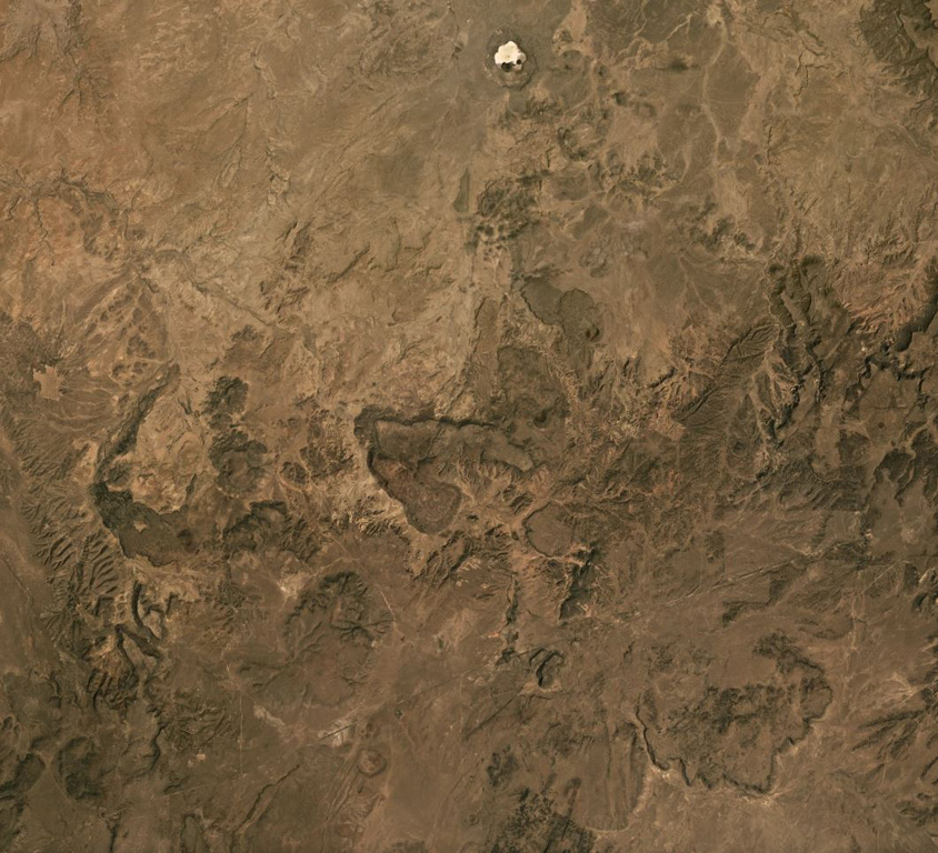
The Red Hill-Quemado volcanic field in western New Mexico is across the border from the Springerville volcanic field in Arizona and contains more than 40 cinder cones and maars that were active from the late Miocene to early Holocene. The volcanic field lies along the NE-trending Jemez Lineament that extends from SE Colorado to east-central Arizona. Dating by Onken and Forman (2017) showed that three eruptive events took place during the early Holocene, and that the 2-km-wide Zuni Salt Lake maar with its late-stage nested cinder cones was formed about 11,000-11,800 calibrated 14C years ago.
분화 이력
3건 기록용어집요약 (VEI 시계열)
막대를 클릭하면 개별 분화가 표시됩니다 · 화살표 키로 막대 이동, Enter로 열기
상세 타임라인
- 기원전 9450년 (±400년)VEI ?지질학적 추정기원전 9450 ~ 종료일 미상Zuni Salt Lake maar
- 기원전 9700년 (±450년)VEI ?지질학적 추정기원전 9700 ~ 종료일 미상2.5 km radius of Zuni Salt Lake
- 기원전 9850년 (±500년)VEI ?지질학적 추정기원전 9850 ~ 종료일 미상Cerro Pomo?
주변 화산
외부 링크
⚠ 참고용 정보입니다. 재난 대응에 사용하지 마세요.