에콰도르 · 성층화산
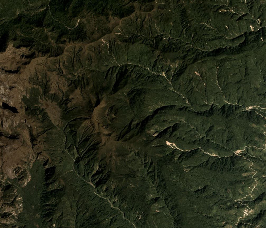
Soche
- 화산 유형
- 성층화산
- 해발
- 3955m
- 마지막 분화
- -6650년
- 화산 유형
- 성층화산
- 국가
- 에콰도르
- 지역
- 남아메리카 / Northern Andean Volcanic Arc
- 해발
- 3955m
- 좌표
- 0.552, -77.580
- 마지막 분화
- -6650년
- 판구조 환경
- 섭입대 / 대륙 지각 (> 25 km)
- 화산 지형
- 복성화산체
- 주요 암석
- 데사이트
지질학적 요약
Volcán el Soche, a small stratovolcano near the Colombia border, is the northernmost of a chain of Ecuadorian volcanoes east of the principal volcanic axis. This dominantly dacitic volcano was constructed over Paleozoic rocks and has a summit caldera open to the E. A major explosive eruption took place during the early Holocene at about 8600 years BP, depositing tephra NW into Colombia. The ejection of voluminous dacitic airfall pumice and pyroclastic flows was followed by the formation of two lava domes in the caldera.
Wikipedia 요약
영어 요약Soche is a 3,955-metre-high (12,976 ft) dacitic volcano in Ecuador and is located on the northern end of a secondary volcanic chain. Constructed on a Paleozoic substratum, it contains an eastwards-opening caldera in the summit region. A large eruption in 6650 BCE generated ashfall into Colombia and two lava domes in the caldera. The ash- and lapilli-fall is about a metre thick in the Interandean valley and the neighbouring cordilleras and most likely represented a long-lasting obstacle for human population. Earlier eruptive events involving a lava flow that was subsequently offset by a fault zone named the Cayambe-Chingual fault by 110m occurred 9.67 ka BP, and another involving a pyroclastic flow was dated at 37.22 ± 0.63 ka BP.
Wikipedia · CC BY-SA · 전체 기사 보기 →
분화 이력
1건 기록용어집상세 타임라인
- 기원전 6650년VEI 5지질학적 추정기원전 6650 ~ 종료일 미상
주변 화산
외부 링크
⚠ 참고용 정보입니다. 재난 대응에 사용하지 마세요.