칠레 · 볼리비아 · 성층화산
Irruputuncu
- 화산 유형
- 성층화산
- 해발
- 5163m
- 마지막 분화
- 1995년
- 화산 유형
- 성층화산
- 국가
- 칠레 · 볼리비아
- 지역
- 남아메리카 / Central Andean Volcanic Arc
- 해발
- 5163m
- 좌표
- -20.730, -68.550
- 마지막 분화
- 1995년
- 판구조 환경
- 섭입대 / 대륙 지각 (> 25 km)
- 화산 지형
- 복성화산체
- 주요 암석
- 안산암 / 현무암질 안산암
지질학적 요약
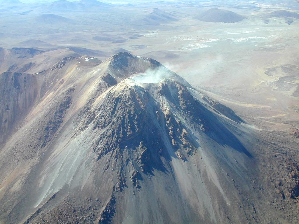
Irruputuncu is a small stratovolcano that straddles the Chile/Bolivia border. It is the youngest and most southerly of a NE-SW-trending chain of volcanoes. It was constructed within the collapse scarp of a Holocene debris avalanche whose deposit extends to the SW. Subsequent eruptions filled much of this scarp and produced thick, viscous lava flows down the W flank. The summit complex contains two craters, the southernmost of which is fumarolically active. The first unambiguous historical eruption took place in November 1995, when phreatic explosions produced dark ash clouds.
Wikipedia 요약
영어 요약Irruputuncu is a volcano in the commune of Pica, Tamarugal Province, Tarapacá Region, Chile, as well as San Pedro de Quemes Municipality, Nor Lípez Province, Potosí Department, Bolivia. The mountain's summit is 5,163 m (16,939 ft) high and has two summit craters—the southernmost 200 m (660 ft)-wide one has active fumaroles. The volcano also features lava flows, block and ash flows and several lava domes. The volcano is part of the Andean Central Volcanic Zone (CVZ).
Wikipedia · CC BY-SA · 전체 기사 보기 →
분화 이력
2건 기록용어집상세 타임라인
- 1995년VEI 2관측 기록1995-09-01 ~ 1995-09-26
- 1989년VEI ?근거 미기재1989-12-16 ~ 종료일 미상
주변 화산
외부 링크
⚠ 참고용 정보입니다. 재난 대응에 사용하지 마세요.