아르헨티나 · 성층화산
Risco Plateado
- 화산 유형
- 성층화산
- 해발
- 4999m
- 마지막 분화
- 미확인
- 화산 유형
- 성층화산
- 국가
- 아르헨티나
- 지역
- 남아메리카 / Southern Andean Volcanic Arc
- 해발
- 4999m
- 좌표
- -34.917, -69.981
- 마지막 분화
- 미확인
- 판구조 환경
- 섭입대 / 대륙 지각 (> 25 km)
- 화산 지형
- 복성화산체
- 주요 암석
- 안산암 / 현무암질 안산암
지질학적 요약
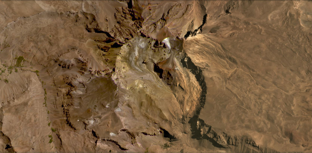
영어 원문The Risco Plateado volcanic complex lies about 10 km S of the Caldera del Atuel and consists of a stratovolcano cut by a 4-km-wide caldera.
출처: Global Volcanism Program, Smithsonian Institution (발췌) · GVP에서 전체 요약 읽기 →
Wikipedia 요약
영어 요약Risco Plateado is a stratovolcano in Argentina, with an elevation of 4,999 metres (16,401 ft) above sea level.
Wikipedia · CC BY-SA · 영어 위키백과에서 이어 읽기 →
분화 이력
용어집상세 타임라인
분화 기록이 없습니다.
주변 화산
외부 링크
⚠ 참고용 정보입니다. 재난 대응에 사용하지 마세요.