칠레 · 화산군
Meullin
- 화산 유형
- 화산군
- 해발
- 1080m
- 마지막 분화
- 미확인
- 화산 유형
- 화산군
- 국가
- 칠레
- 지역
- 남아메리카 / Southern Andean Volcanic Arc
- 해발
- 1080m
- 좌표
- -45.220, -73.050
- 마지막 분화
- 미확인
- 판구조 환경
- 섭입대 / 대륙 지각 (> 25 km)
- 화산 지형
- 화산군
- 주요 암석
- 현무암 / 피크로현무암
지질학적 요약
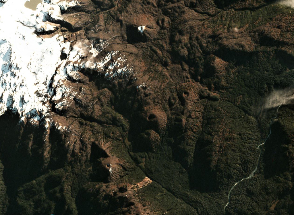
The Meullín volcanic field consists of a chain of well-preserved cinder cones along the Lago Meullín, Lago Yulton, Río Cuervo, and Quitralco fault segments of the regional Liquine-Ofqui fault zone. The cones straddle both sides of the Aisén (Aysén) Fjord and were considered to be of Holocene age (Vargas et al., 2013). The cinder cones, a few of which are sub-aquatic, extend to the south along NE-SW, NNE-SSW, and N-S lines from Yulton Lake. The largest concentration of cones lies between Meullín Lake and the older Pleistocene Meullín volcano located west of the volcanic field, and additional forested cinder cones were constructed along the Río Pescado valley south of Aisén Fjord.
분화 이력
용어집상세 타임라인
분화 기록이 없습니다.
주변 화산
외부 링크
- 한국어 Wikipedia에 아직 기사가 없습니다. Wikidata에서 작성할 수 있습니다.
- Smithsonian GVP 원본 페이지
⚠ 참고용 정보입니다. 재난 대응에 사용하지 마세요.