아이슬란드 · 순상화산
Þeistareykjarbunga
Theistareykir
- 화산 유형
- 순상화산
- 해발
- 563m
- 마지막 분화
- -900년
- 화산 유형
- 순상화산
- 국가
- 아이슬란드
- 지역
- 대서양 / Iceland Neovolcanic Rift Volcanic Province
- 해발
- 563m
- 좌표
- 65.883, -16.967
- 마지막 분화
- -900년
- 판구조 환경
- 열곡대 / 해양 지각 (< 15 km)
- 화산 지형
- 순상화산체
- 주요 암석
- 현무암 / 피크로현무암
지질학적 요약
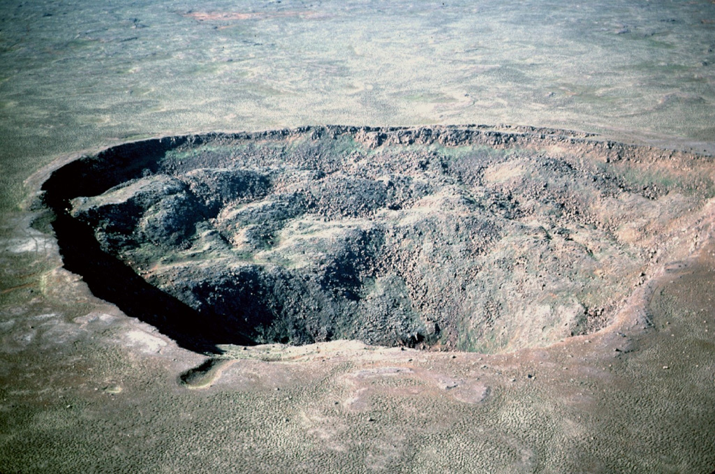
The Holocene Theistareykir fissure system, including the basaltic Theistareykjarbunga shield volcano, extends from north of Myvatn lake to the coast of Iceland. This is the northernmost subaerial volcanic system along the Eastern Volcanic Zone of Iceland. The 30 km3 Theistareykjarbunga shield volcano formed slightly after deglaciation; the youngest dated eruption produced the Theistareykjahraun lava flow about 2,400 years ago.
Wikipedia 요약
영어 요약Theistareykjarbunga is a shield volcano in north-eastern Iceland with two fissure vents called Þeistareykjahraun and Borgahraun, and two cones: the 370 m (1,210 ft) Stórahversmór and the 540 m (1,770 ft), 30 km3 (7.2 cu mi) Stóravíti. They both are currently extinct, although there is evidence suggesting the potential for activity such as recent localised uplift and seismicity. The multiple vents make up the Theistareykir (Þeistareykir) volcanic system, with more recent evidence that the former classification as a shield volcano is better considered an embryonic central volcano with associated fissure swarm, as rhyolite has erupted in a limited area. The recent lava has picrite, olivine tholeiite basalt characteristics but before the ice age there were basaltic andesite and rhyolite eruptions. There is a central high temperature geothermal area with numerous steam vents and fumaroles. This has been utilised by a 90 MWe power station.
Wikipedia · CC BY-SA · 전체 기사 보기 →
분화 이력
3건 기록용어집상세 타임라인
- 기원전 900년 (±100년)VEI 0지질학적 추정기원전 900 ~ 종료일 미상Storihver (Theistareykjahraun)
- 기원전 6800년VEI 0지질학적 추정기원전 6800 ~ 종료일 미상Borgarhraun and other flows
- 기원전 9500년VEI 0지질학적 추정기원전 9500 ~ 종료일 미상Theistareykjabunga shield volcano
주변 화산
외부 링크
⚠ 참고용 정보입니다. 재난 대응에 사용하지 마세요.