포르투갈 · 순상화산
Dom João de Castro Bank
Don Joao de Castro Bank
- 화산 유형
- 순상화산
- 해발
- 13m (해저)
- 마지막 분화
- 1720년
- 화산 유형
- 순상화산
- 국가
- 포르투갈
- 지역
- 대서양 / Azores-Terceira Rift Volcanic Province
- 해발
- 13m (해저)
- 좌표
- 38.230, -26.630
- 마지막 분화
- 1720년
- 판구조 환경
- 열곡대 / 해양 지각 (< 15 km)
- 화산 지형
- 순상화산체
- 주요 암석
- 현무암 / 피크로현무암
지질학적 요약
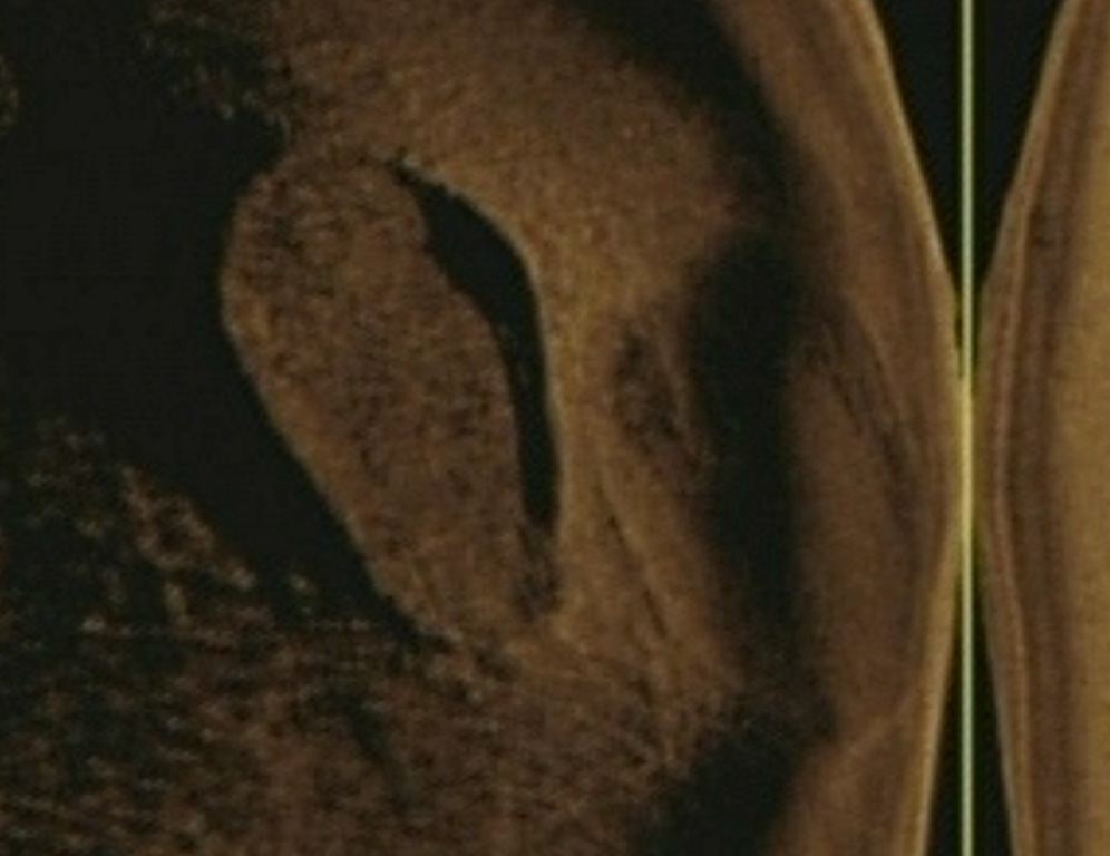
Don Joao de Castro Bank is a large submarine volcano that rises to within 13 m of the ocean surface roughly halfway between Terceira and San Miguel Islands. Pillow lavas form the base of the volcano, which is capped by basaltic hyaloclastites. A submarine eruption during December 1720 produced an ephemeral island that attained a length of 1.5 km and a height of about 250 m before it was eroded beneath the surface two years later. The volcano (also spelled Dom Joao de Castro) was named after the Portuguese hydrographic survey vessel that surveyed the bank in 1941. Two youthful craters, one tephra covered and the other sediment free, are located on the NW flank. The submarine volcano has a shallow fumarole field and remains seismically active.
Wikipedia 요약
영어 요약Dom João de Castro Bank is a large submarine volcano located in the central north Atlantic Ocean, between the islands of São Miguel and Terceira in the archipelago of the Azores.
Wikipedia · CC BY-SA · 전체 기사 보기 →
분화 이력
2건 기록용어집상세 타임라인
- 1997년VEI 0근거 미기재1997-06-27 ~ 1997-07-16NW of Don Joao de Castro Bank
- 1720년VEI 3관측 기록1720-12-08 ~ 1720-12-26
주변 화산
외부 링크
⚠ 참고용 정보입니다. 재난 대응에 사용하지 마세요.