Ethiopia · Shield volcano
Mat Ala
- Type
- Shield volcano
- Elevation
- 493m
- Last eruption
- Unknown
- Type
- Shield volcano
- Country
- Ethiopia
- Region
- Eastern Africa / Afar Rift Volcanic Province
- Elevation
- 493m
- Coordinates
- 13.106, 41.161
- Last eruption
- Unknown
- Tectonic setting
- Rift zone / Intermediate crust (15-25 km)
- Landform
- Shield
- Major rock type
- Basalt / Picro-basalt
Geological summary
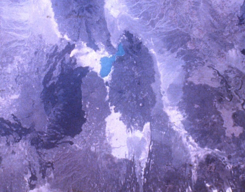
Mat Ala is a low shield volcano in the southern Tat Ali Range, east of Afderà volcano. A 300-m-deep, 2.5 x 3.5 km wide caldera is found at the summit of the volcano, whose flanks are cut by numerous N-S-trending faults. Mat Ala has been active during the Holocene, and fumarolic activity occurs along a fissure SW of the volcano.
Eruption history
GlossaryDetailed timeline
No eruption records available.
Nearby volcanoes
External links
- Not yet on Wikipedia (English). You can contribute on Wikidata.
- Smithsonian GVP source page
⚠ For reference only. Not for emergency response.