Ethiopia · Volcanic field
Sodore
Melkassa
- Type
- Volcanic field
- Elevation
- 1765m
- Last eruption
- Unknown
- Type
- Volcanic field
- Country
- Ethiopia
- Region
- Eastern Africa / Main Ethiopian Rift Volcanic Province
- Elevation
- 1765m
- Coordinates
- 8.430, 39.350
- Last eruption
- Unknown
- Tectonic setting
- Intraplate / Continental crust (> 25 km)
- Landform
- Cluster
- Major rock type
- Basalt / Picro-basalt
Geological summary
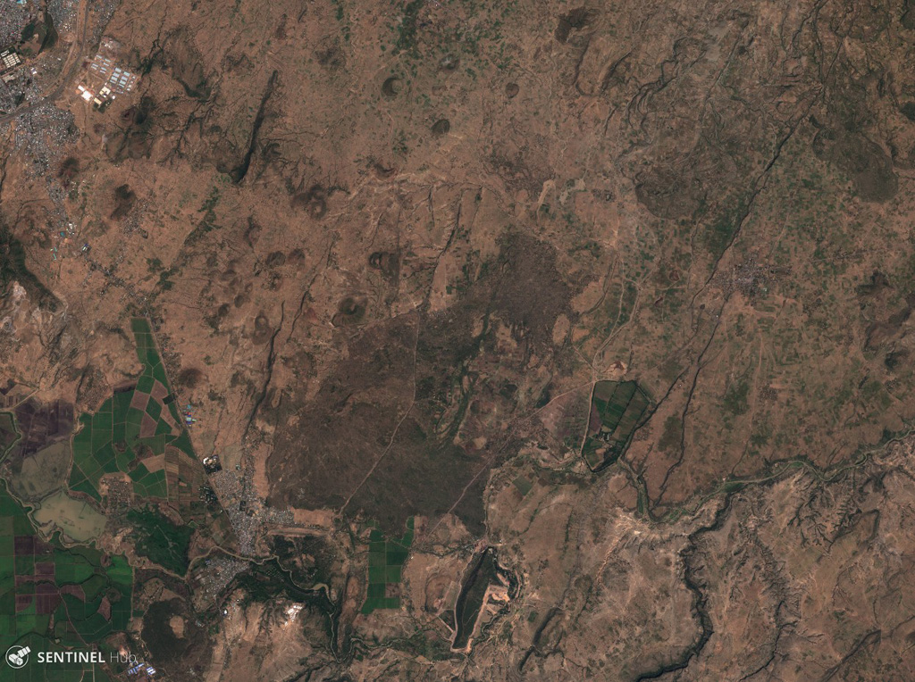
The Melkassa (or Sodore) volcanic field is an extensive 15 x 25 km group of about 30 Pleistocene and Holocene pyroclastic cones and lava flows that covers the floor of the E side of the Ethiopian Rift Valley, around the town of Melkassa, between the Boset volcanic complex and Gedamsa caldera.
Eruption history
GlossaryDetailed timeline
No eruption records available.
Nearby volcanoes
External links
- Not yet on Wikipedia (English). You can contribute on Wikidata.
- Smithsonian GVP source page
⚠ For reference only. Not for emergency response.