Niger · Volcanic field
Todra Volcanic Field
- Type
- Volcanic field
- Elevation
- 1780m
- Last eruption
- Unknown
- Type
- Volcanic field
- Country
- Niger
- Region
- Northern Africa / West Central Sahara Volcanic Province
- Elevation
- 1780m
- Coordinates
- 17.680, 8.500
- Last eruption
- Unknown
- Tectonic setting
- Intraplate / Continental crust (> 25 km)
- Landform
- Cluster
- Major rock type
- Basalt / Picro-basalt
Geological summary
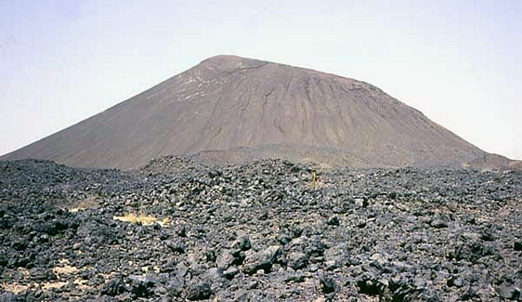
The Todra Volcanic Field covers about 1,000 km2 in the Tuareg shield in the southern Aïr region of Niger. Activity began with the eruption of about 30 trachytic and phonolitic volcanoes through Precambrian basement rocks. This was followed by the formation of about 130 basaltic cones that typically produced valley-filling lava flows. A series of NW-SE faults control cone locations. The date of the latest eruption is not known, but may have been as recent as a few centuries ago.
Eruption history
GlossaryDetailed timeline
No eruption records available.
Nearby volcanoes
External links
⚠ For reference only. Not for emergency response.