Sudan · Volcanic field
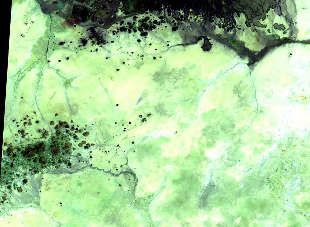
Kutum Volcanic Field
- Type
- Volcanic field
- Elevation
- 1779m
- Last eruption
- Unknown
- Type
- Volcanic field
- Country
- Sudan
- Region
- Northern Africa / Southeast Sahara Volcanic Province
- Elevation
- 1779m
- Coordinates
- 14.570, 25.850
- Last eruption
- Unknown
- Tectonic setting
- Intraplate / Continental crust (> 25 km)
- Landform
- Cluster
- Major rock type
- Basalt / Picro-basalt
Geological summary
The basaltic Kutum volcanic field, in the northern Darfur area of western Sudan, is located SW of the larger Meidob volcanic field. As with other Saharan volcanic fields, Kutum (also known as the Tagabo Hills or Berti Hills) contains very well-preserved cones, lava flows, and explosion craters. They were considered to be of late-Pleistocene or even Holocene age (Almond, 1974). Franz et al. (1997), however, assigned only Tertiary age ranges for rocks from Tagabo Hills.
Eruption history
GlossaryDetailed timeline
No eruption records available.
Nearby volcanoes
External links
- Not yet on Wikipedia (English). You can contribute on Wikidata.
- Smithsonian GVP source page
⚠ For reference only. Not for emergency response.