Yemen · Volcanic field
Harra of Arhab
Arhab, Harra of
- Type
- Volcanic field
- Elevation
- 3100m
- Last eruption
- 500
- Type
- Volcanic field
- Country
- Yemen
- Region
- Arabia & Central Asia / Southwest Arabia Volcanic Province
- Elevation
- 3100m
- Coordinates
- 15.602, 44.098
- Last eruption
- 500
- Tectonic setting
- Intraplate / Continental crust (> 25 km)
- Landform
- Cluster
- Major rock type
- Trachybasalt / Tephrite basanite
Geological summary
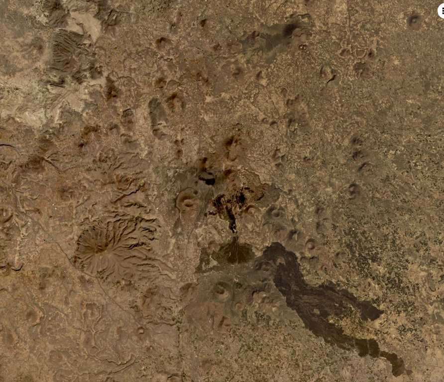
The Quaternary Harra of Arhab in Yemen, north of the capital city of Sana'a, consists of a 1,500 km2 basaltic plateau capped by a few small stratovolcanoes and about 60 scoria cones, two of which have erupted in historical time.
Excerpt from the Global Volcanism Program, Smithsonian Institution · Read the full summary on GVP →
From Wikipedia
The mainly Quaternary Harra of Arhab is the northernmost, historically active volcanic field in Yemen. Also known as the "Sana'a-'Amran volcanic field", or simply the "Sana'a volcanic field", it has erupted in ancient times.
Wikipedia · CC BY-SA · Read full article →
Eruption history
2 recordedGlossaryRecord summary
- Confirmed eruptions
- 2
- Uncertain eruptions
- 0
- Span of confirmed record
- 200 – 500
- Largest confirmed eruption
- VEI 2 (200)
- Confirmed eruptions since 1900
- 0
Summary (VEI over time)
Click a bar to see individual eruptions · Use arrow keys to move between bars, Enter to open
Detailed timeline
- 500 (±100 yrs)VEI 0Observed500 – end unknownSouth flank of Kaulet Hattab
- 200VEI 2Geological estimate200 – end unknownEast flank of Jabal Zebib
Nearby volcanoes
External links
⚠ For reference only. Not for emergency response.