Tonga · Stratovolcano
Tofua Arc at 20.9°S
- Type
- Stratovolcano
- Elevation
- 296m (submarine)
- Last eruption
- 2017
- Type
- Stratovolcano
- Country
- Tonga
- Region
- Tonga & Kermadec / Tofua Volcanic Arc
- Elevation
- 296m (submarine)
- Coordinates
- -20.852, -175.550
- Last eruption
- 2017
- Tectonic setting
- Subduction zone / Oceanic crust (< 15 km)
- Landform
- Composite
- Major rock type
- No data
Geological summary
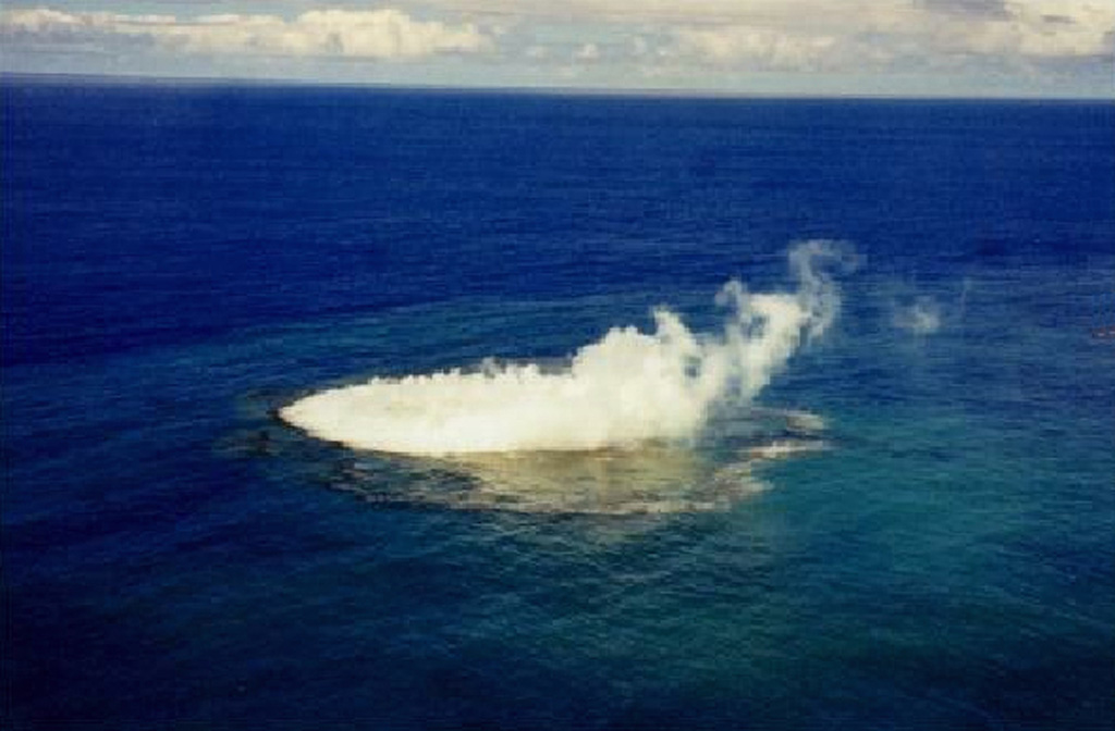
An unnamed submarine volcano is located along the Tofua Volcanic Arc 35 km NW of the Niu Aunofo lighthouse on Tongatapu Island. The first documented eruptions took place in 1911 and 1923; an ephemeral island was formed in 1999. A submarine eruption in January 2017 produced discolored water visible in satellite imagery.
Eruption history
5 recordedGlossarySummary (VEI over time)
Click a bar to see individual eruptions · Use arrow keys to move between bars, Enter to open
Detailed timeline
- 2017VEI 0Observed2017-01-23 – 2017-01-31Submarine
- 1999VEI 1Observed1999-01-08 – 1999-01-14
- 1970VEI 0Observed1970-01-03 – 1970-01-03
- 1923VEI 0Observed1923-07-01 – end unknown
- 1911VEI 0Observed1911-08-16 – end unknown
Nearby volcanoes
External links
- Not yet mapped on Wikidata.
- Smithsonian GVP source page
⚠ For reference only. Not for emergency response.