Papua New Guinea · Volcanic field
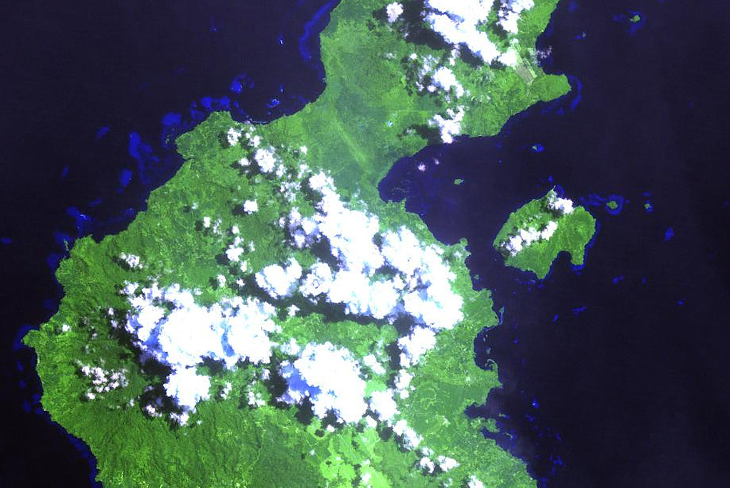
Garua Harbour
- Type
- Volcanic field
- Elevation
- 565m
- Last eruption
- Unknown
- Type
- Volcanic field
- Country
- Papua New Guinea
- Region
- Southwestern Pacific / Bismarck Volcanic Arc
- Elevation
- 565m
- Coordinates
- -5.300, 150.070
- Last eruption
- Unknown
- Tectonic setting
- Subduction zone / Continental crust (> 25 km)
- Landform
- Cluster
- Major rock type
- Rhyolite
Geological summary
The Garua (Talasea) Harbour volcanic field consists of a group of lava domes and ash cones of possible Holocene age.
Excerpt from the Global Volcanism Program, Smithsonian Institution · Read the full summary on GVP →
Eruption history
GlossaryDetailed timeline
No eruption records available.
Nearby volcanoes
External links
- Not yet on Wikipedia (English). You can contribute on Wikidata.
- Smithsonian GVP source page
⚠ For reference only. Not for emergency response.