Indonesia · Stratovolcano
Malintang
- Type
- Stratovolcano
- Elevation
- 1988m
- Last eruption
- Unknown
- Type
- Stratovolcano
- Country
- Indonesia
- Region
- Sunda & Banda / Sunda Volcanic Arc
- Elevation
- 1988m
- Coordinates
- 0.476, 99.663
- Last eruption
- Unknown
- Tectonic setting
- Subduction zone / Continental crust (> 25 km)
- Landform
- Composite
- Major rock type
- Andesite / Basaltic andesite
Geological summary
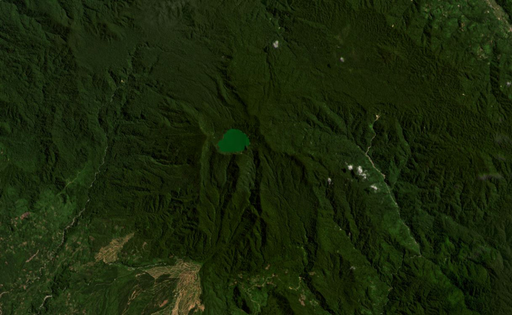
The broad forested Malintang andesitic-to-dacitic stratovolcano has an irregular summit crater with a 900 x 1,500 m lake.
Excerpt from the Global Volcanism Program, Smithsonian Institution · Read the full summary on GVP →
Eruption history
GlossaryDetailed timeline
No eruption records available.
Nearby volcanoes
External links
- Not yet on Wikipedia (English). You can contribute on Wikidata.
- Smithsonian GVP source page
⚠ For reference only. Not for emergency response.